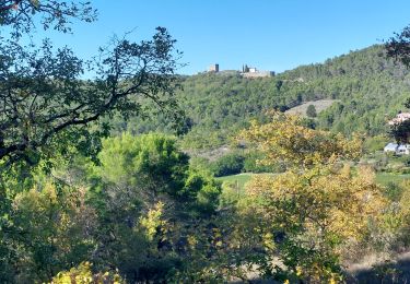
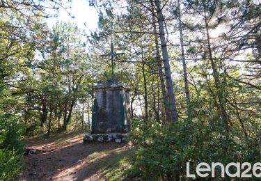
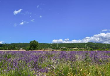
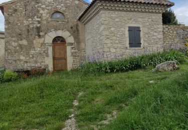
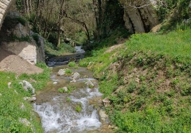
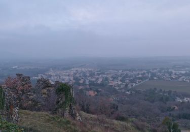
11,3 km | 15,4 km-effort
Allan Croix de Simeon 7km
chancha
Utilisateur GUIDE
Longueur
6,8 km
Altitude max
385 m
Dénivelé positif
199 m
Km-Effort
9,4 km
Altitude min
234 m
Dénivelé négatif
194 m
Boucle
Oui
Date de création :
2022-05-15 12:31:15.933
Dernière modification :
2022-05-21 09:12:06.47
3h28
Difficulté : Facile
Application GPS de randonnée GRATUITE
À propos
Randonnée Marche de 6,8 km à découvrir à Auvergne-Rhône-Alpes, Drôme, Allan. Cette randonnée est proposée par chancha.
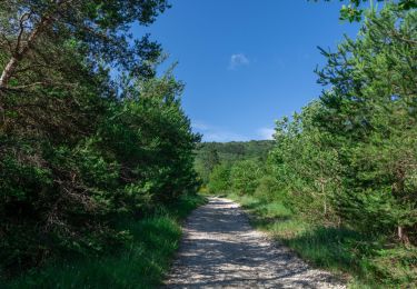
Localisation
Pays :
France
Région :
Auvergne-Rhône-Alpes
Département/Province :
Drôme
Commune :
Allan
Localité :
Unknown
Départ:(Dec)
Départ:(UTM)
643908 ; 4927842 (31T) N.
Commentaires
Randonnées à proximité
Bois-Jamot-Espeluche 11km
Marche
Moyen
(1)
Espeluche,
Auvergne-Rhône-Alpes,
Drôme,
France
3h 28min
Oui
Rochefort-en-Valdaine Le Janeston 7km5
Marche
Moyen
(1)
Rochefort-en-Valdaine,
Auvergne-Rhône-Alpes,
Drôme,
France
7,3 km | 10,3 km-effort
2h 23min
Oui
allan transclavienne rac
Marche
Très facile
(1)
Allan,
Auvergne-Rhône-Alpes,
Drôme,
France
19,1 km | 26 km-effort
5h 11min
Oui
Allan La Croix de Siméon 11km
Marche
Moyen
Allan,
Auvergne-Rhône-Alpes,
Drôme,
France
10,7 km | 15,2 km-effort
3h 27min
Oui
Le Huit d'Espeluche 7km4
Marche
Moyen
Espeluche,
Auvergne-Rhône-Alpes,
Drôme,
France
8 km | 10,2 km-effort
2h 9min
Oui
SityTrail - Les Villages Perchés.
sport
Très facile
(1)
Allan,
Auvergne-Rhône-Alpes,
Drôme,
France
19,5 km | 27 km-effort
Inconnu
Oui
Aiguebelle Le Fraysse 12km.
Marche
Moyen
Réauville,
Auvergne-Rhône-Alpes,
Drôme,
France
12,2 km | 15,6 km-effort
3h 33min
Oui
Allan Monastère de Aiguebelle19km.
Marche
Très difficile
Allan,
Auvergne-Rhône-Alpes,
Drôme,
France
19,1 km | 26 km-effort
5h 48min
Oui
Allan Rochefort-en-Valdaine 19km.
Marche
Très difficile
Allan,
Auvergne-Rhône-Alpes,
Drôme,
France
18,6 km | 27 km-effort
6h 11min
Oui