


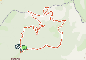

17 km | 29 km-effort

Utilisateur


Application GPS de randonnée GRATUITE
 SityTrail
IGN / Instituts géographiques
SityTrail World
Le monde est à vous
Randonnée Marche de 16 km à découvrir à Auvergne-Rhône-Alpes, Drôme, Glandage. Cette randonnée est proposée par ajd26.
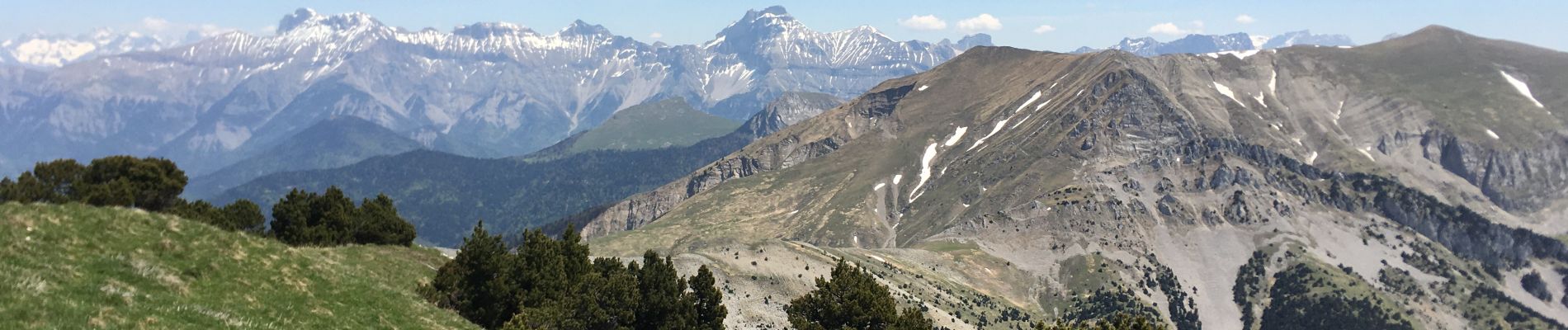
au départ de Borne, belle rando avec un panorama 360° à couper le souffle
quand on redescend de Belle Motte, rester près de l'arête jusqu'au col


Marche

Marche

Marche

Marche

Marche

Marche

Marche

Marche

Marche