


29 km | 35 km-effort

Utilisateur


Application GPS de randonnée GRATUITE
 SityTrail
IGN / Instituts géographiques
SityTrail World
Le monde est à vous
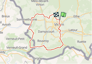
Randonnée Marche de 28 km à découvrir à Wallonie, Luxembourg, Virton. Cette randonnée est proposée par Pascal L.
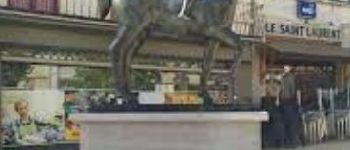
Départ/Retour: Virton (Val d'Away)
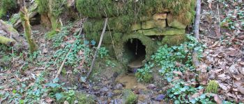
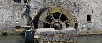
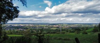
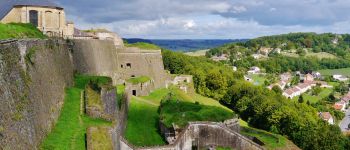
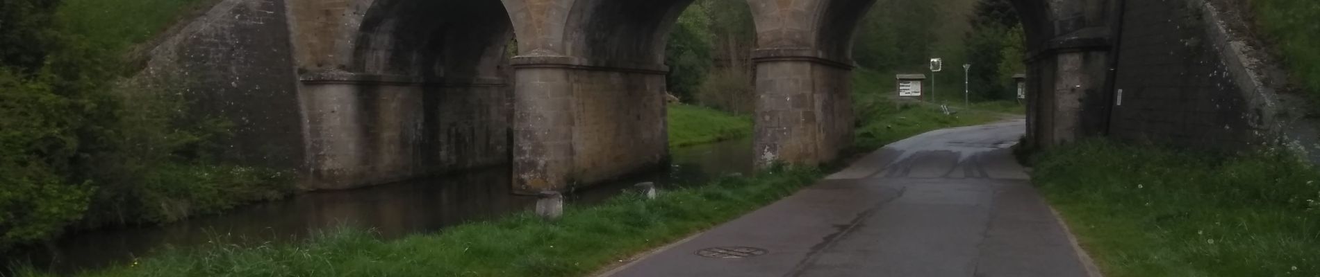
Endroits de passage: Houdrigny, Moulin de Berchiwé (la Chevratte), Chaufour, Ruisseau de Launelle, Haut Bois, Sommethonne, Bois d'Arrentement, Mont Rivaux, Couvreux et son ruisseau, Ecouviez (FR), Lamorteau, Ravel, Aux Bois (hors piste), Bois de Guéville, Bois de la Côte, La Tuilerie, Saint-Mard, Vieux-Virton, Virton.
Ref.
- http://biodiversite.wallonie.be/fr/1290-ligne-sncb-n-155-lamorteau-harnoncourt.html?IDD=251660841&highlighttext= lamorteau &IDC=1881#
- http://observatoire.biodiversite.wallonie.be/carto/sites/carte.aspx?type=sgib&id=1290
(2022.04.29)


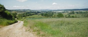
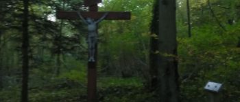
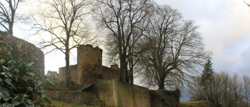
30 photos au total. Cliquez sur une photo pour les afficher toutes dans la galerie.

Marche

V.T.T.

Marche

A pied

Marche

Marche

V.T.T.

V.T.T.

V.T.T.