


31 km | 41 km-effort

Utilisateur


Application GPS de randonnée GRATUITE
 SityTrail
IGN / Instituts géographiques
SityTrail World
Le monde est à vous
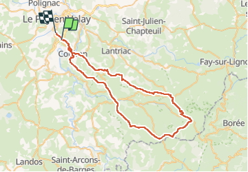
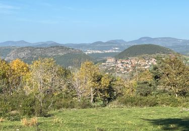
Randonnée Vélo électrique de 67 km à découvrir à Auvergne-Rhône-Alpes, Haute-Loire, Le Puy-en-Velay. Cette randonnée est proposée par ricou1964.
Il faut faire la randonnée dans le sens indiqué afin d'éviter, dans l'autre sens, une grande montée qui ravine pleine de roches et qui serait très pénible à gravir.


Marche

Marche

Marche

Marche
Vélo électrique
Marche
Marche
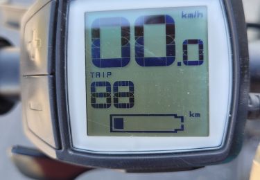
Vélo électrique
Vélo électrique