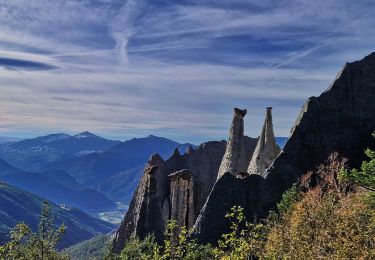
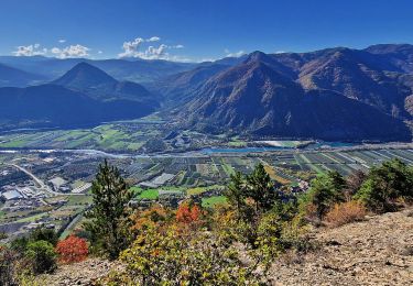
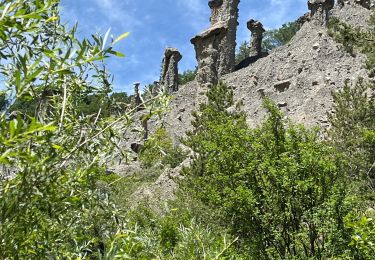
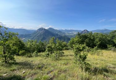
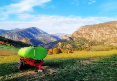
6,7 km | 13,4 km-effort
Clavière(Christian)
PECHEUR
Utilisateur
Longueur
124 km
Altitude max
2228 m
Dénivelé positif
11799 m
Km-Effort
284 km
Altitude min
69 m
Dénivelé négatif
12608 m
Boucle
Non
Date de création :
2022-04-07 07:14:21.631
Dernière modification :
2022-05-09 16:00:10.382
2h31
Difficulté : Moyen
Application GPS de randonnée GRATUITE
À propos
Randonnée Marche de 124 km à découvrir à Provence-Alpes-Côte d'Azur, Hautes-Alpes, Avançon. Cette randonnée est proposée par PECHEUR.
Description
rando pédestre du 10/05
Localisation
Pays :
France
Région :
Provence-Alpes-Côte d'Azur
Département/Province :
Hautes-Alpes
Commune :
Avançon
Localité :
Unknown
Départ:(Dec)
Départ:(UTM)
276039 ; 4932688 (32T) N.
Commentaires
Randonnées à proximité
R47 Les Demoiselles Coiffees
Marche
Très facile
(2)
Théus,
Provence-Alpes-Côte d'Azur,
Hautes-Alpes,
France
2h 31min
Oui
Les demoiselles coiffées
Marche
Difficile
(1)
Théus,
Provence-Alpes-Côte d'Azur,
Hautes-Alpes,
France
7,5 km | 14,2 km-effort
3h 13min
Oui
VALSAIRES CHAPELLE NOTRE DAME DU LAIS
Marche
Difficile
Jarjayes,
Provence-Alpes-Côte d'Azur,
Hautes-Alpes,
France
14,2 km | 23 km-effort
4h 25min
Oui
Mont colombes
sport
Très facile
Théus,
Provence-Alpes-Côte d'Azur,
Hautes-Alpes,
France
13 km | 25 km-effort
Inconnu
Oui
J1 2023 - Theus le Mont Colombis
Marche
Difficile
(1)
Théus,
Provence-Alpes-Côte d'Azur,
Hautes-Alpes,
France
13 km | 25 km-effort
3h 42min
Oui
Le Puy et la Chapelle Saint-Sixte Via Remollon (Vélo)
Vélo électrique
Difficile
Remollon,
Provence-Alpes-Côte d'Azur,
Hautes-Alpes,
France
23 km | 31 km-effort
2h 7min
Oui
La Viste
Marche
Moyen
Rousset,
Provence-Alpes-Côte d'Azur,
Hautes-Alpes,
France
5,6 km | 10,4 km-effort
1h 50min
Oui
VTT-ae - Mont Colombis via Valserres - Croix des prés
Vélo électrique
Difficile
Remollon,
Provence-Alpes-Côte d'Azur,
Hautes-Alpes,
France
38 km | 58 km-effort
4h 56min
Oui
VTT-ae - La Croix des Prés avec V&H
V.T.T.
Très difficile
Remollon,
Provence-Alpes-Côte d'Azur,
Hautes-Alpes,
France
45 km | 64 km-effort
4h 45min
Oui