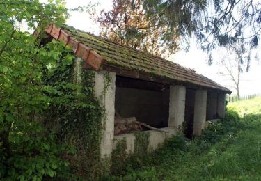
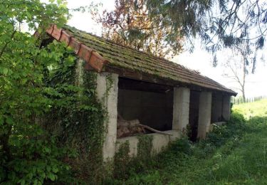
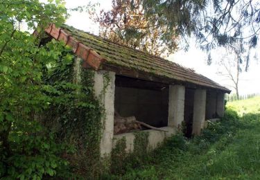
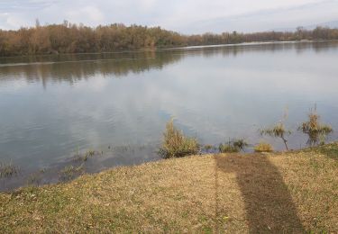
Randonnée Marche Châtillon-la-Palud - Chatillon La Palud-Circuit de Gévrieux - Photo

Chatillon La Palud-Circuit de Gévrieux

 ThierryJ01
ThierryJ01

Utilisateur

© OpenStreetMap contributors
Longueur
Longueur
7,5 km
Altitude max
Altitude max
316 m
Dénivelé positif
Dénivelé positif
154 m
Km-Effort
Km-Effort  
9,6 km
Altitude min
Altitude min
221 m
Dénivelé négatif
Dénivelé négatif
152 m
Boucle
Boucle
Oui
Date de création :
2022-05-08 21:28:09.453
Dernière modification :
2022-05-08 21:31:10.316

(0 Avis)

Marche
Marche
2h10
Difficulté : Moyen

Scannez ce code QR pour ouvrir la randonnée dans l'application SityTrail

Application GPS de randonnée GRATUITE

Logo SityTrail SityTrail

IGN / Instituts géographiques

Télécharger SityTrail sur l'App Store Télécharger SityTrail sur Google Play

Logo SityTrail SityTrail World

Le monde est à vous

Télécharger SityTrail sur l'App Store Télécharger SityTrail sur Google Play Télécharger SityTrail sur Huawei AppGallery

À propos

Randonnée Marche de 7,5 km à découvrir à Auvergne-Rhône-Alpes, Ain, Châtillon-la-Palud. Cette randonnée est proposée par ThierryJ01.

Profil altimétrique

Points d'intérêt

Point d'intérêt Châtillon-la-Palud - Place du Bief. A gauche. Proche confluence Ain et - Photo
ThierryJ01
CHÂTILLON-LA-PALUD 
Point d'intérêt Châtillon-la-Palud - Vers Bonnel - Photo
ThierryJ01
CHÂTILLON-LA-PALUD 
Point d'intérêt Châtillon-la-Palud - Bifurcation à gauche - Photo
ThierryJ01
CHÂTILLON-LA-PALUD 
Point d'intérêt Châtillon-la-Palud - Rond-point - Photo
ThierryJ01
CHÂTILLON-LA-PALUD 
Point d'intérêt Châtillon-la-Palud - Les Grands Champs  - Photo
ThierryJ01
CHÂTILLON-LA-PALUD 
Point d'intérêt Châtillon-la-Palud - Cimetière - Photo
ThierryJ01
CHÂTILLON-LA-PALUD 
Point d'intérêt Châtillon-la-Palud - Poteau Les Grands Champs - Photo
ThierryJ01
CHÂTILLON-LA-PALUD 
Point d'intérêt Châtillon-la-Palud - Les Grands Champs - Photo
ThierryJ01
CHÂTILLON-LA-PALUD 
Point d'intérêt Châtillon-la-Palud - Sentier à droite à la station de pompage - Photo
ThierryJ01
Point d'intérêt Châtillon-la-Palud - Poteau - Photo
ThierryJ01
CHÂTILLON-LA-PALUD 
Point d'intérêt Châtillon-la-Palud - Bifurcation à droite - Photo
ThierryJ01
CHÂTILLON-LA-PALUD 
Point d'intérêt Châtillon-la-Palud - Châtillon-la-Palud - Gévrieux - Photo
ThierryJ01
CHÂTILLON-LA-PALUD 
Point d'intérêt Châtillon-la-Palud - Parking Place du Bief - Photo
ThierryJ01
CHÂTILLON-LA-PALUD 

Localisation

Pays :
France
Région :
Auvergne-Rhône-Alpes
Département/Province :
Ain
Commune :
Châtillon-la-Palud
Localité :
Unknown
Départ:(Dec)
Départ:(UTM)
674438 ; 5092709 (31T) N.

Randonnées à proximité

Randonnée Marche Châtillon-la-Palud - Petite course à pied tranquille - Châtillon la Palud - Photo
Marche
tracegps

Marche

Facile
(1)
Châtillon-la-Palud, Auvergne-Rhône-Alpes, Ain, France
6,3 km | 8,3 km-effort
1h 30min
Oui
Randonnée V.T.T. Villieu-Loyes-Mollon - essai gpx - Photo
V.T.T.
cha43

V.T.T.

Très facile
Villieu-Loyes-Mollon, Auvergne-Rhône-Alpes, Ain, France
2,6 km | 2,9 km-effort
9min
Oui
Randonnée Course à pied Châtillon-la-Palud - Petite course à pied tranquille - Châtillon la Palud - Photo
Course à pied
tracegps

Course à pied

Moyen
Châtillon-la-Palud, Auvergne-Rhône-Alpes, Ain, France
6,3 km | 8,3 km-effort
34min
Oui
Randonnée V.T.T. Châtillon-la-Palud - Petite course à pied tranquille - Châtillon la Palud - Photo
V.T.T.
tracegps

V.T.T.

Facile
Châtillon-la-Palud, Auvergne-Rhône-Alpes, Ain, France
6,3 km | 8,3 km-effort
19min
Oui
Randonnée Marche Priay -  11 11 2019 lac de PRIAY - Photo
Marche
Jacky Fumey

Marche

Très facile
Priay, Auvergne-Rhône-Alpes, Ain, France
3,3 km | 3,5 km-effort
1h 19min
Oui
Randonnée Vélo de route Villieu-Loyes-Mollon - centrale matin - Photo
Vélo de route
cha43

Vélo de route

Très facile
Villieu-Loyes-Mollon, Auvergne-Rhône-Alpes, Ain, France
18,8 km | 20 km-effort
50min
Non
Randonnée V.T.T. Châtillon-la-Palud - chat - Photo
V.T.T.
nitramEVO

V.T.T.

Très facile
Châtillon-la-Palud, Auvergne-Rhône-Alpes, Ain, France
25 km | 30 km-effort
1h 16min
Non
Randonnée Marche Châtillon-la-Palud - gevrieux - Photo
Marche
pmg.griot

Marche

Facile
Châtillon-la-Palud, Auvergne-Rhône-Alpes, Ain, France
7,2 km | 9,1 km-effort
2h 48min
Oui
Randonnée Randonnée équestre Villette-sur-Ain - cavalisa 5 - Photo
Randonnée équestre
ophness

Randonnée équestre

Difficile
Villette-sur-Ain, Auvergne-Rhône-Alpes, Ain, France
28 km | 33 km-effort
4h 16min
Oui


Fermer
Mes abonnements