


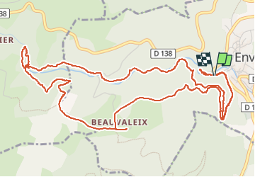

11,1 km | 15,6 km-effort

Utilisateur


Application GPS de randonnée GRATUITE
 SityTrail
IGN / Instituts géographiques
SityTrail World
Le monde est à vous
Randonnée Marche de 8,4 km à découvrir à Auvergne-Rhône-Alpes, Puy-de-Dôme, Enval. Cette randonnée est proposée par GNC.
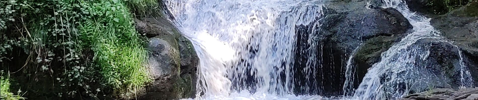
Très jolie balade avec des passages un peu rock end roll ! Quand il fait très chaud cette petite rando est parfaite ... On marche presque tout le long au bord de l'eau . Il est conseillé d'avoir de bonne chaussures, le terrain est un peut glissant par endroit.


A pied

Marche

Marche

Marche

Marche

Marche

Marche

Marche

V.T.T.