


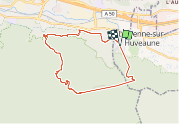

14,2 km | 24 km-effort

Utilisateur


Application GPS de randonnée GRATUITE
 SityTrail
IGN / Instituts géographiques
SityTrail World
Le monde est à vous
Randonnée Marche de 8,7 km à découvrir à Provence-Alpes-Côte d'Azur, Bouches-du-Rhône, La Penne-sur-Huveaune. Cette randonnée est proposée par venaut .
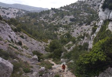
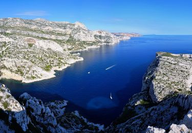
randonnées à éviter quand il fait chaud. très beau panorama sur le garlaban et la ste baume


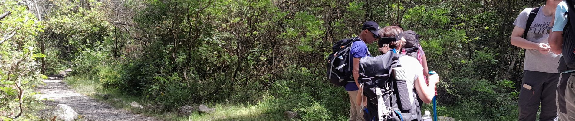
Marche

Marche

Marche
Marche
A pied

Marche

Marche
Marche

Autre activité