


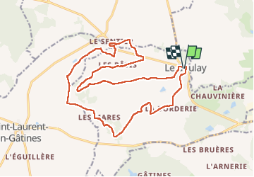

18,2 km | 20 km-effort

Utilisateur GUIDE


Application GPS de randonnée GRATUITE
 SityTrail
IGN / Instituts géographiques
SityTrail World
Le monde est à vous
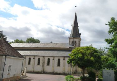
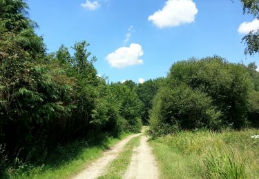
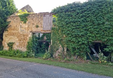
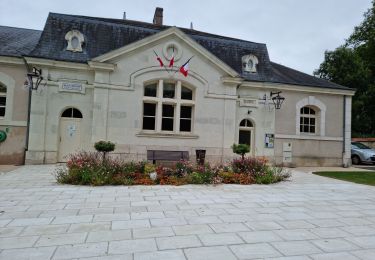
Randonnée Marche de 21 km à découvrir à Centre-Val de Loire, Indre-et-Loire, Le Boulay. Cette randonnée est proposée par Orcal37.
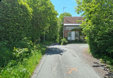
le Boulay - circuits Le pain sec et le Boulay avec variante le Sentier - balisage bleu jaune puis bleu puis le Sentier puis retour au balisage jaune - 21.4km 180m 5h15 - 2022 05 05


Marche
Marche
Marche

Marche
Marche
Marche
Marche
Marche
Marche