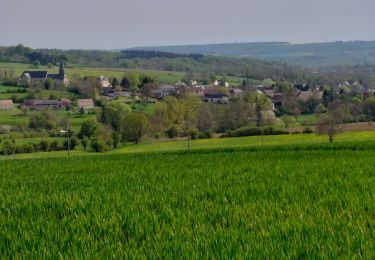
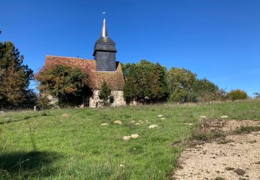
19,1 km | 24 km-effort
RETOUR DU 7 MAI
club de la bresle
Utilisateur
Longueur
43 km
Altitude max
234 m
Dénivelé positif
532 m
Km-Effort
50 km
Altitude min
101 m
Dénivelé négatif
477 m
Boucle
Non
Date de création :
2022-05-05 07:08:45.205
Dernière modification :
2022-05-07 03:59:52.62
0m
Difficulté : Très facile
Application GPS de randonnée GRATUITE
À propos
Randonnée 4x4 de 43 km à découvrir à Hauts-de-France, Oise, Blacourt. Cette randonnée est proposée par club de la bresle.
Localisation
Pays :
France
Région :
Hauts-de-France
Département/Province :
Oise
Commune :
Blacourt
Localité :
Unknown
Départ:(Dec)
Départ:(UTM)
415806 ; 5478586 (31U) N.
Commentaires
Randonnées à proximité
la Chapelle aux Pots - Savignie
V.T.T.
Moyen
(1)
Lachapelle-aux-Pots,
Hauts-de-France,
Oise,
France
1h 39min
Oui
Saint Germer de Fly - Mont de Fly - 8.6 km
Marche
Moyen
Saint-Germer-de-Fly,
Hauts-de-France,
Oise,
France
8,6 km | 10,5 km-effort
2h 23min
Oui
Villers-sur-Auchy
Marche
Moyen
Villers-sur-Auchy,
Hauts-de-France,
Oise,
France
18,1 km | 22 km-effort
4h 11min
Oui
Lachapelle-aux-pots - Héricourt - La Frénoye - Armentières
Marche
Difficile
Lachapelle-aux-Pots,
Hauts-de-France,
Oise,
France
10,7 km | 13,7 km-effort
3h 6min
Oui
Lachapelle aux pots - Armentières 11 km
Marche
Difficile
Lachapelle-aux-Pots,
Hauts-de-France,
Oise,
France
10,6 km | 13,5 km-effort
3h 4min
Oui
Lachapelle aux Pots - Rando santé 1
Marche
Moyen
Lachapelle-aux-Pots,
Hauts-de-France,
Oise,
France
5,6 km | 6,4 km-effort
1h 24min
Oui
Lachapelle-aux-Pots - autour de la Crapaudière vers 2
Marche
Facile
Lachapelle-aux-Pots,
Hauts-de-France,
Oise,
France
9,9 km | 11,5 km-effort
2h 32min
Oui
Lachapelle-aux-Pots - autour de la Crapaudière
Marche
Facile
Lachapelle-aux-Pots,
Hauts-de-France,
Oise,
France
9,4 km | 10,9 km-effort
2h 25min
Oui