

MLS 30mai22 Chaumes et forêts entre Fellering et Siebach

argonneuweg
Utilisateur

Longueur
6,9 km

Altitude max
767 m

Dénivelé positif
333 m

Km-Effort
11,3 km

Altitude min
443 m

Dénivelé négatif
334 m
Boucle
Oui
Date de création :
2022-05-04 07:53:55.0
Dernière modification :
2022-05-05 17:30:59.996
1h59
Difficulté : Difficile

Application GPS de randonnée GRATUITE
À propos
Randonnée Marche de 6,9 km à découvrir à Grand Est, Haut-Rhin, Oderen. Cette randonnée est proposée par argonneuweg.
Description
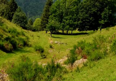
La première partie de cette rando consiste en une montée assez raide au travers des chaumes mais avec des vues splendides sur la vallée et les alentours. Puis une descente douce et longue dans la forêt.
Ne pas oublier les bâtons
Localisation
Pays :
France
Région :
Grand Est
Département/Province :
Haut-Rhin
Commune :
Oderen
Localité :
Unknown
Départ:(Dec)
Départ:(UTM)
349260 ; 5307238 (32T) N.
Commentaires
Randonnées à proximité
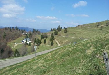
Markstein


Marche
Moyen
(3)
Linthal,
Grand Est,
Haut-Rhin,
France

14 km | 19,8 km-effort
4h 45min
Oui

Felsach _chapelle ST Nicolas_frenz


Marche
Difficile
(3)
Fellering,
Grand Est,
Haut-Rhin,
France

9,6 km | 16,5 km-effort
3h 45min
Oui

Parking Bellevue - Hundsrucken - Markstein


A pied
Moyen
(1)
Lautenbachzell,
Grand Est,
Haut-Rhin,
France

9,4 km | 13 km-effort
Inconnu
Oui

68 Chapelle St Nicolas - FA du Felsach (1 + 2)


Marche
Moyen
(1)
Oderen,
Grand Est,
Haut-Rhin,
France

10,9 km | 17,9 km-effort
3h 41min
Oui
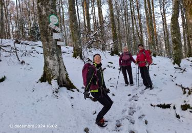
le grand Ve tron


Marche
Moyen
Kruth,
Grand Est,
Haut-Rhin,
France

15,3 km | 25 km-effort
4h 0min
Non
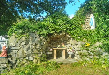
TREK ALSACIEN (boucle, la meute)


Marche
Difficile
Oderen,
Grand Est,
Haut-Rhin,
France

14,3 km | 23 km-effort
4h 30min
Oui
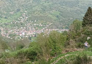
Oderen Bergenbach Langenbach


Marche
Moyen
Oderen,
Grand Est,
Haut-Rhin,
France

7,1 km | 11,6 km-effort
3h 40min
Non

TREK ALSACIEN (1ère étape)


Marche
Moyen
Oderen,
Grand Est,
Haut-Rhin,
France

9,2 km | 18,1 km-effort
4h 0min
Non


 SityTrail


