


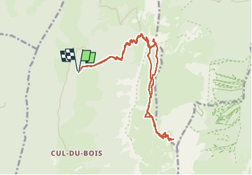

13,1 km | 24 km-effort

Utilisateur


Application GPS de randonnée GRATUITE
 SityTrail
IGN / Instituts géographiques
SityTrail World
Le monde est à vous
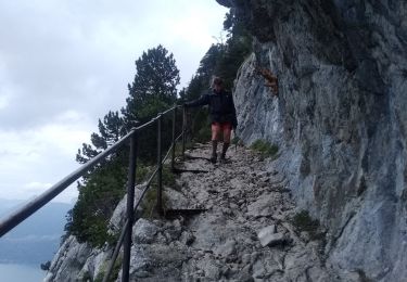
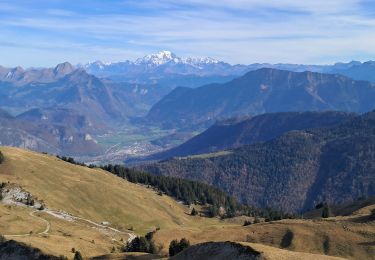
Randonnée Marche de 11 km à découvrir à Auvergne-Rhône-Alpes, Savoie, Doucy-en-Bauges. Cette randonnée est proposée par djeepee74.
BOUCLE... live de Cris & Karine and Co le 20220501
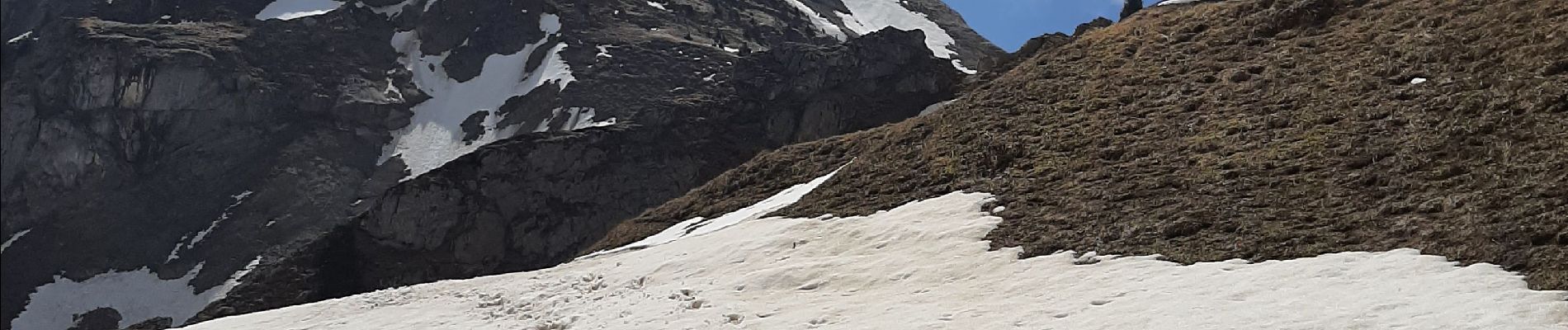
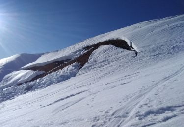
... Le sommet n'a pas été atteint pour cause d'enneigement délicat !


Marche

Marche
Marche
Ski de randonnée

Ski de randonnée

Marche
Marche

Marche
Marche