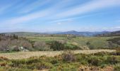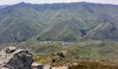

Mayres Chaumiène 12km

thonyc
Utilisateur GUIDE

Longueur
12,2 km

Altitude max
1342 m

Dénivelé positif
802 m

Km-Effort
23 km

Altitude min
572 m

Dénivelé négatif
801 m
Boucle
Oui
Date de création :
2022-05-01 07:49:43.525
Dernière modification :
2022-05-02 11:56:32.041
6h43
Difficulté : Difficile

Application GPS de randonnée GRATUITE
À propos
Randonnée Marche de 12,2 km à découvrir à Auvergne-Rhône-Alpes, Ardèche, Mayres. Cette randonnée est proposée par thonyc.
Description
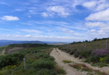
Superbe rando très sportive. Très beaux panoramas.
Forte montée et descente très raide, les bâtons sont donc fort utiles.
Localisation
Pays :
France
Région :
Auvergne-Rhône-Alpes
Département/Province :
Ardèche
Commune :
Mayres
Localité :
Unknown
Départ:(Dec)
Départ:(UTM)
588479 ; 4946400 (31T) N.
Commentaires
Randonnées à proximité

07 rocher d abraham


Marche
Moyen
(2)
Mayres,
Auvergne-Rhône-Alpes,
Ardèche,
France

14 km | 28 km-effort
8h 4min
Oui
croix de beauzon


Marche
Difficile
Borne,
Auvergne-Rhône-Alpes,
Ardèche,
France

13,6 km | 18,2 km-effort
5h 53min
Oui
Station Croix de Bauzon 14 km.


Marche
Difficile
Borne,
Auvergne-Rhône-Alpes,
Ardèche,
France

13,9 km | 19,2 km-effort
4h 22min
Oui
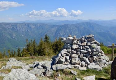
Tour des Poignets 18KM


A pied
Moyen
Mayres,
Auvergne-Rhône-Alpes,
Ardèche,
France

17,1 km | 25 km-effort
5h 42min
Oui
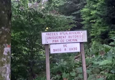
Vallée de la Borne


Marche
Difficile
Borne,
Auvergne-Rhône-Alpes,
Ardèche,
France

14,2 km | 22 km-effort
6h 8min
Oui
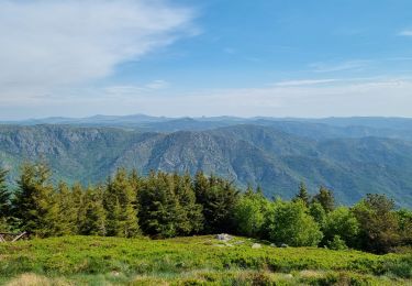
Rocher d'Abraham par la Tour des Poignets


Marche
Difficile
La Souche,
Auvergne-Rhône-Alpes,
Ardèche,
France

10,9 km | 17,1 km-effort
5h 33min
Oui
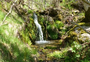
Mayres Chaumiène 12km


Marche
Difficile
Mayres,
Auvergne-Rhône-Alpes,
Ardèche,
France

11,7 km | 22 km-effort
4h 25min
Oui

Mayes-cautet-piste-cesse-passadou


Marche
Difficile
(2)
Mayres,
Auvergne-Rhône-Alpes,
Ardèche,
France

10,4 km | 16,7 km-effort
3h 48min
Oui
L'Aigle Royal - Station de la Croix de Bauzon


Marche
Difficile
Borne,
Auvergne-Rhône-Alpes,
Ardèche,
France

20 km | 28 km-effort
7h 0min
Oui


 SityTrail


