


8,1 km | 14,4 km-effort

Utilisateur


Application GPS de randonnée GRATUITE
 SityTrail
IGN / Instituts géographiques
SityTrail World
Le monde est à vous
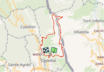
Randonnée Marche de 18,1 km à découvrir à Provence-Alpes-Côte d'Azur, Alpes-Maritimes, Castellar. Cette randonnée est proposée par ETMU5496.
Le Grand Mont ou Grammondo, est un sommet frontalier culminant à 1 378 m entre les Alpes-Maritimes, en France, et la Ligurie en Italie. Il est le point culminant des sommets du pays côtier, sur les hauteurs de la commune de Castellar.
Très belle randonnée en surplomb de la méditerranée au départ de Castellar avec montée au col de Berceau et au Grand Mont.
Retour par le col St Bernard.
IBP = 141


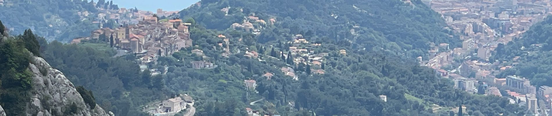
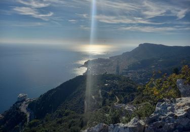
24 photos au total. Cliquez sur une photo pour les afficher toutes dans la galerie.

Marche

Marche

A pied

Marche

Marche

Marche

Marche

Marche
Marche