


8,5 km | 10,6 km-effort

Utilisateur


Application GPS de randonnée GRATUITE
 SityTrail
IGN / Instituts géographiques
SityTrail World
Le monde est à vous
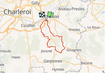
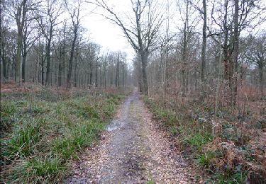
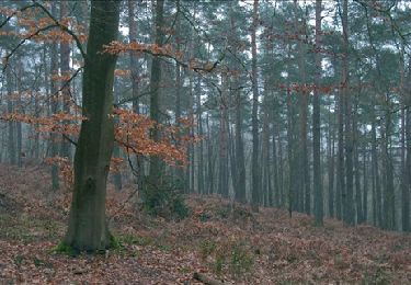
Randonnée Marche de 20 km à découvrir à Wallonie, Hainaut, Châtelet. Cette randonnée est proposée par jeangulu.
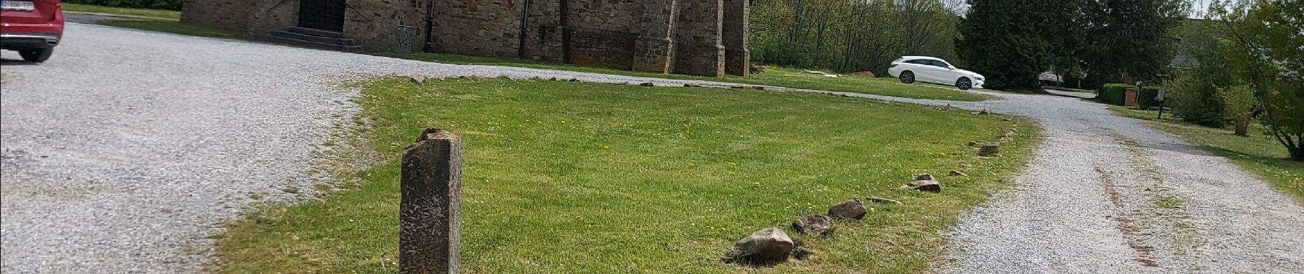
Point de départ : Parc Communal - Rue des Campagnes - R3 ( sortie 9 ), - 6200 CHATELET.
Organisateur : HT 006 - CLUB PÉDESTRE ÉCUREUIL DE CHATELET


Marche
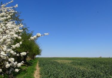
Marche
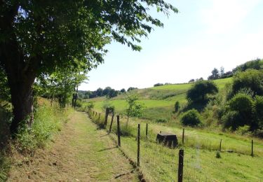
Marche

Marche
Marche
Marche
Marche
Marche
Marche