


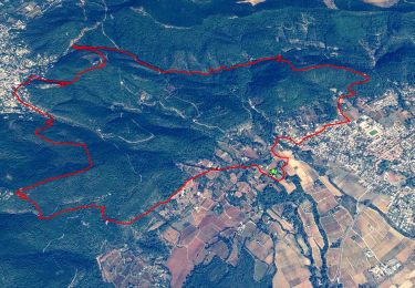
14,2 km | 21 km-effort

Utilisateur


Application GPS de randonnée GRATUITE
 SityTrail
IGN / Instituts géographiques
SityTrail World
Le monde est à vous
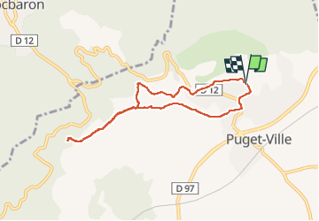
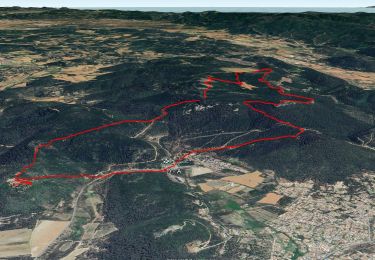
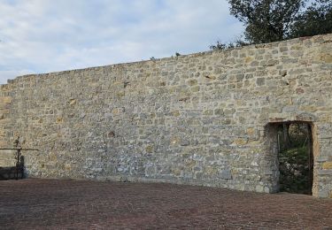
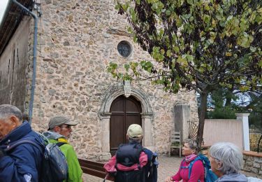
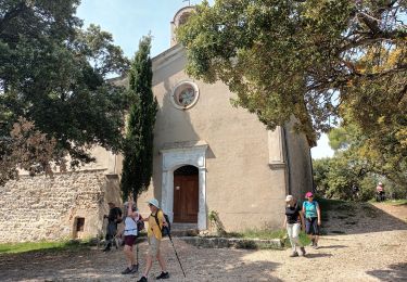
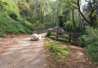
Randonnée A pied de 7,7 km à découvrir à Provence-Alpes-Côte d'Azur, Var, Puget-Ville. Cette randonnée est proposée par Christiancordin.
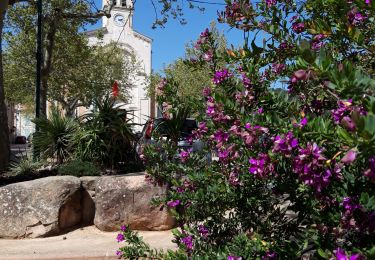
PK complexe sportif de Puget-ville-oratoire-Font Ferrière-GR 51-Chapelle Ste Philomène-GR 51-église de Puget-ville.


Marche
Marche
Marche
Marche
A pied
Marche
Marche
Marche
Marche