20 km | 34 km-effort
rotzel
jcschubnel
Utilisateur
Longueur
5,4 km
Altitude max
959 m
Dénivelé positif
281 m
Km-Effort
9,2 km
Altitude min
682 m
Dénivelé négatif
281 m
Boucle
Oui
Date de création :
2022-04-28 12:39:03.908
Dernière modification :
2022-04-28 20:43:21.089
3h18
Difficulté : Moyen
Application GPS de randonnée GRATUITE
À propos
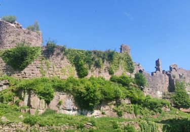
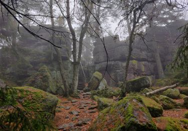
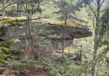
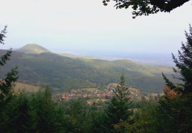
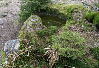
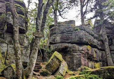
Randonnée Marche de 5,4 km à découvrir à Grand Est, Haut-Rhin, Rodern. Cette randonnée est proposée par jcschubnel.
Localisation
Pays :
France
Région :
Grand Est
Département/Province :
Haut-Rhin
Commune :
Rodern
Localité :
Unknown
Départ:(Dec)
Départ:(UTM)
372826 ; 5344899 (32U) N.
Commentaires
Randonnées à proximité
2023-08-26 Marche Ribeauville Taennchel
Marche
Moyen
(1)
Ribeauvillé,
Grand Est,
Haut-Rhin,
France
7h 45min
Oui
2020-05-21 Marche La Vancelle Boucle
Marche
Très facile
La Vancelle,
Grand Est,
Bas-Rhin,
France
16,3 km | 26 km-effort
6h 41min
Oui
2019-11-03 WE Aubure Taennchel
Randonnée équestre
Très facile
Aubure,
Grand Est,
Haut-Rhin,
France
27 km | 41 km-effort
7h 45min
Oui
2019-11-02 WE Aubure Brezouard
Randonnée équestre
Très facile
Aubure,
Grand Est,
Haut-Rhin,
France
25 km | 39 km-effort
5h 57min
Oui
2015-01-02 Marche Rocher du Coucou Chateau Frankenbourg
Marche
Facile
(1)
La Vancelle,
Grand Est,
Bas-Rhin,
France
10,9 km | 18,1 km-effort
3h 47min
Oui
Grande verrerie - Rocher des Géants
sport
Très facile
Ribeauvillé,
Grand Est,
Haut-Rhin,
France
9,3 km | 15,3 km-effort
Inconnu
Non
Circuit Alsace Cigognes Aubure Plainfaing
Randonnée équestre
Difficile
Aubure,
Grand Est,
Haut-Rhin,
France
30 km | 44 km-effort
5h 44min
Non
1 ère sortie
V.T.T.
Facile
Bergheim,
Grand Est,
Haut-Rhin,
France
12,6 km | 19,1 km-effort
1h 53min
Oui
taenichel
Marche
Moyen
Sainte-Marie-aux-Mines,
Grand Est,
Haut-Rhin,
France
13,3 km | 19,1 km-effort
5h 26min
Oui