


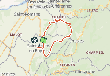

10,1 km | 22 km-effort


Utilisateur


Application GPS de randonnée GRATUITE
 SityTrail
IGN / Instituts géographiques
SityTrail World
Le monde est à vous
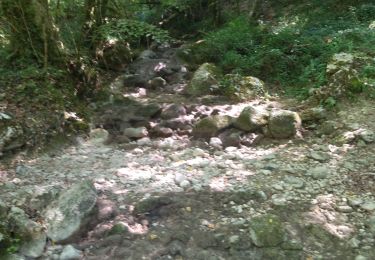
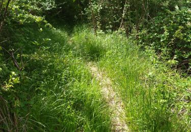
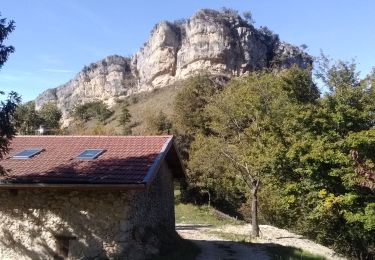
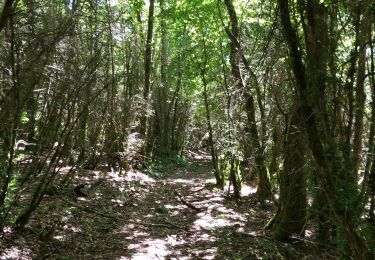
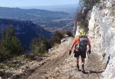
Randonnée Marche de 14,3 km à découvrir à Auvergne-Rhône-Alpes, Isère, Saint-André-en-Royans. Cette randonnée est proposée par rolland-a.

Marche
Marche
Marche
Marche
Marche
Marche
Course à pied
Marche
Marche