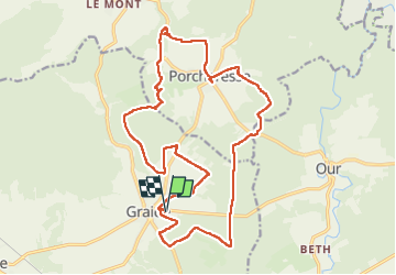

11,5 km | 14,5 km-effort

Utilisateur


Application GPS de randonnée GRATUITE
 SityTrail
IGN / Instituts géographiques
SityTrail World
Le monde est à vous
Randonnée Marche de 20 km à découvrir à Wallonie, Namur, Bièvre. Cette randonnée est proposée par guyernage25.
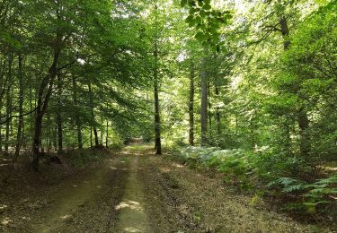
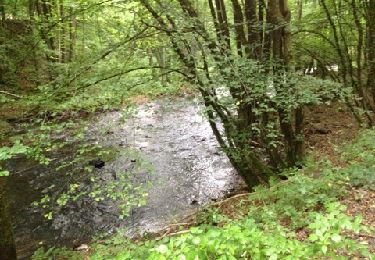
Belle rando forestiere
ATTENTION après l ancienne voie du tram piétonnière, dans la montée dans la forêt, il a fallu traverser 100 mètres en escaladant de multiples épicéas abattus dans un désordre indescriptible (situation provisoire je suppose!!!!)


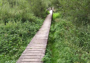
Marche

Marche

Marche
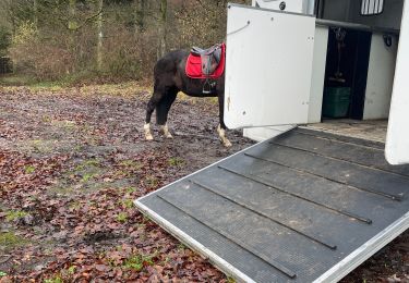
Randonnée équestre
Marche

Marche
A pied