


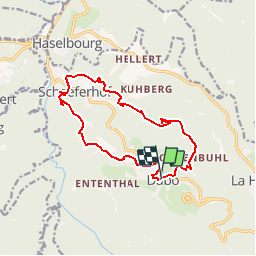


14,5 km | 22 km-effort

Utilisateur GUIDE


Application GPS de randonnée GRATUITE
 SityTrail
IGN / Instituts géographiques
SityTrail World
Le monde est à vous
Randonnée Marche de 12,7 km à découvrir à Grand Est, Moselle, Dabo. Cette randonnée est proposée par Desrumaux.
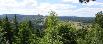
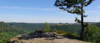
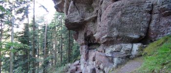
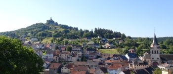
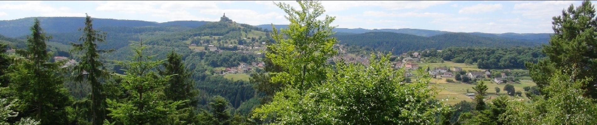
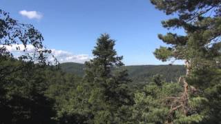
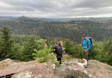
Très jolie randonnée au Pays de Dabo au cœur des Vosges Mosellanes avec de magnifiques points de vue à admirés depuis les belvédères de Heidenschossfels, de Sickertkopf ainsi que le mystérieux Rocher des Corbeaux.Départ : Eglise de Dabo.


Marche

Marche

Marche

Marche

V.T.T.

Marche

Randonnée équestre
Marche
Marche