


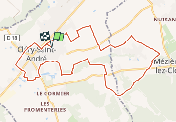

12 km | 13,4 km-effort


Utilisateur


Application GPS de randonnée GRATUITE
 SityTrail
IGN / Instituts géographiques
SityTrail World
Le monde est à vous
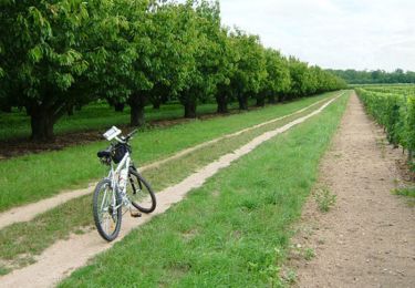
Randonnée Marche de 12,3 km à découvrir à Centre-Val de Loire, Loiret, Cléry-Saint-André. Cette randonnée est proposée par Rembliere.
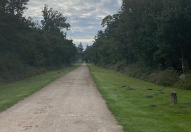
Le collège les génetieres, La déchetterie, Rolland, Manthelon, la bute des élus, le gué de l'Ardoux, le château des élus, les Bonshommes, les Bordes, l'Ardoux, le stade, rue de maisons rouge, s chemin des Bergerets retour par les entiers jusqu'au collège

Marche

V.T.T.
Marche
Marche

Marche

V.T.T.
Marche
Vélo

sport