


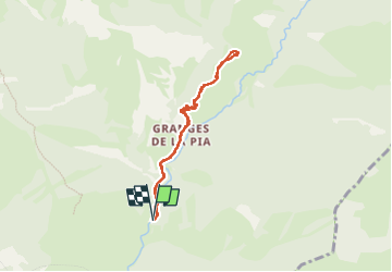

10,7 km | 16,9 km-effort

Utilisateur


Application GPS de randonnée GRATUITE
 SityTrail
IGN / Instituts géographiques
SityTrail World
Le monde est à vous
Randonnée Marche de 7 km à découvrir à Provence-Alpes-Côte d'Azur, Alpes-Maritimes, Tende. Cette randonnée est proposée par pln30.
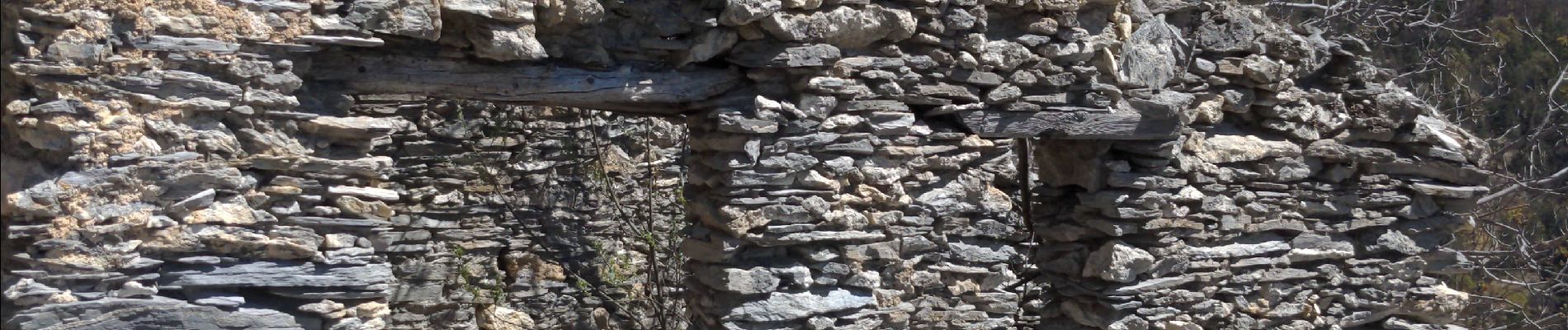
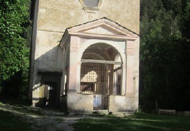
parcours en aller retour jusqu'au castel tournou qui est un fort militaire directement creuser dans le rocher. en temps normal il est possible de faire une boucle mais à ce jour le 17 04 22 le sentier est fermé entre les balises 307 et 308


A pied

Marche

Marche
Raquettes à neige

Marche
Marche
V.T.T.
Marche
Marche