


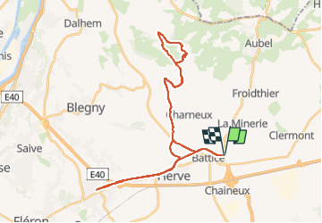

7,7 km | 10,1 km-effort

Utilisateur


Application GPS de randonnée GRATUITE
 SityTrail
IGN / Instituts géographiques
SityTrail World
Le monde est à vous
Randonnée Vélo électrique de 35 km à découvrir à Wallonie, Liège, Herve. Cette randonnée est proposée par Bob4800.
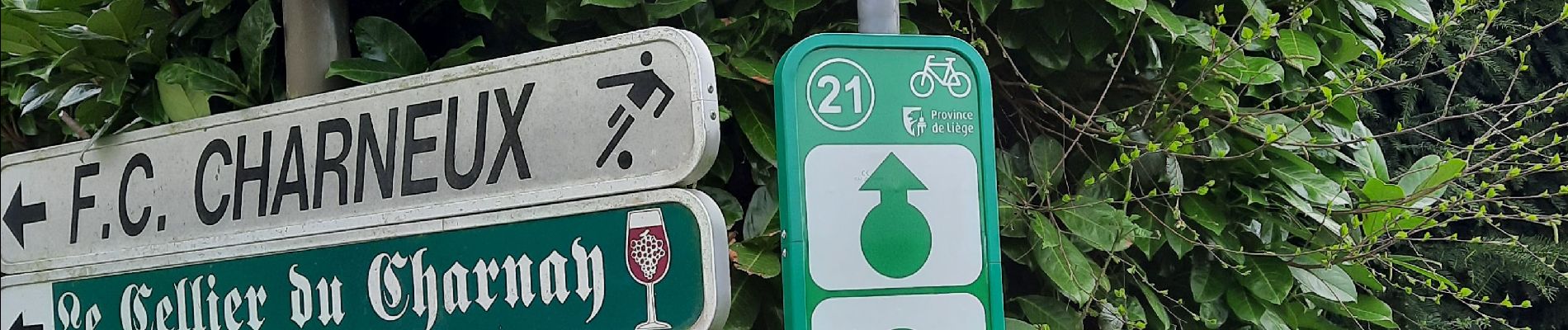
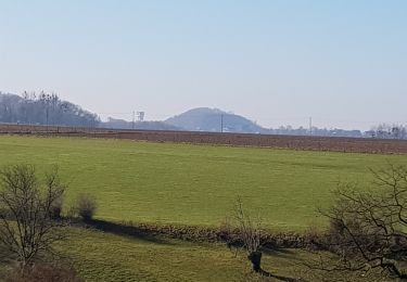
Les pommiers et poiriers en fleurs, les vaches broutent dans les prairies jaunies par les pissenlits. Que c'est beau le pays de Herve.


Marche
Marche

Marche

Marche

Marche

Marche

Marche

Marche
Marche