


7 km | 9,7 km-effort


Utilisateur


Application GPS de randonnée GRATUITE
 SityTrail
IGN / Instituts géographiques
SityTrail World
Le monde est à vous
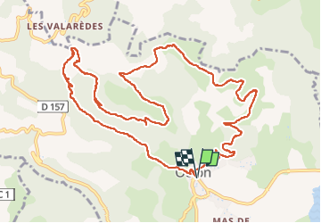
Randonnée Marche de 14,7 km à découvrir à Occitanie, Hérault, Octon. Cette randonnée est proposée par coulombf.
14/04/2022 groupe marche FC
Mégalithes de Toucou, château de Lauzières, chapelle Notre Dame de Roubignac.
Version longue
D'après Rando-Lolo
Marche nordique

Marche nordique

Marche
Marche
Marche
Marche

Marche
Marche

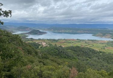
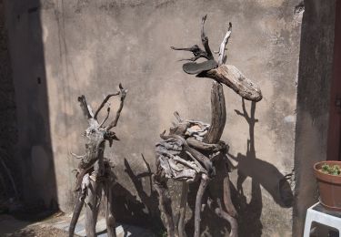
Superbe