


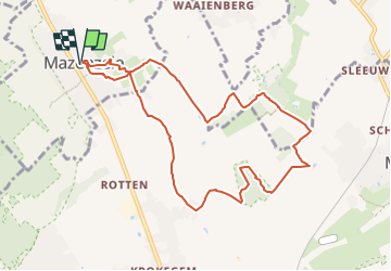


12,3 km | 14 km-effort


Utilisateur


Application GPS de randonnée GRATUITE
 SityTrail
IGN / Instituts géographiques
SityTrail World
Le monde est à vous
Randonnée Marche de 8,9 km à découvrir à Flandre, Brabant flamand, Opwijk. Cette randonnée est proposée par ElGino.
Mazenzele dorp via Bladerenkwartier naar Kartelo waar een lus gemaakt wordt in het bos en men tussen de Boshyacinten loopt. Vervolgens naar Geboortebos en via Dries naar Mazenzele Dorp wa 8,9 km


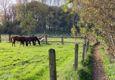
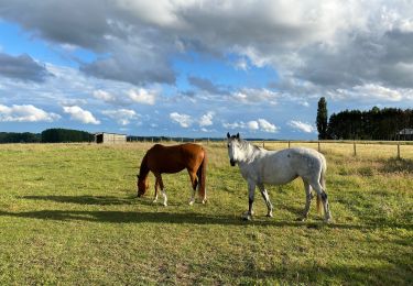
Randonnée équestre
A pied
A pied

Marche
Marche
Marche
Marche
Marche