


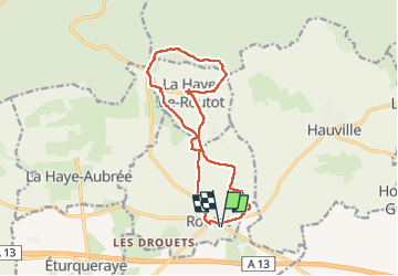

11 km | 13,7 km-effort

Utilisateur


Application GPS de randonnée GRATUITE
 SityTrail
IGN / Instituts géographiques
SityTrail World
Le monde est à vous
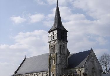
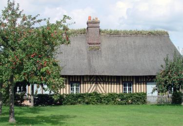
Randonnée Marche de 13,7 km à découvrir à Normandie, Eure, Routot. Cette randonnée est proposée par MichelRando7656.
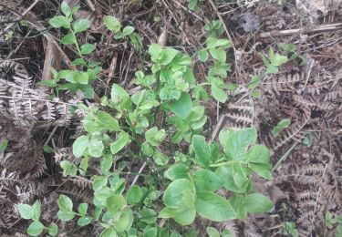
De beaux chemins de terre ou herbeux. Un chemin caillouteux et raviné qui peut être d'usage délicat par temps de grosses pluies.
Environ 3 km de petites routes goudronnées.
Ne pas manquer selon les jours :
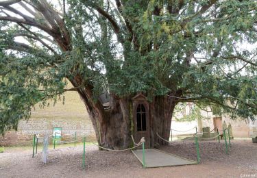
l'atelier du sabotier, le four à pain à la Haye de Routot et la maison du lin à Routot


Marche
Marche
Marche
Marche
Marche
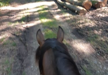
Randonnée équestre
Marche
Marche