


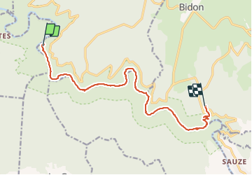


18,4 km | 28 km-effort

Utilisateur


Application GPS de randonnée GRATUITE
 SityTrail
IGN / Instituts géographiques
SityTrail World
Le monde est à vous
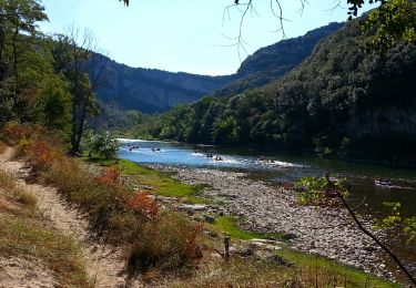
Randonnée Marche de 15,1 km à découvrir à Auvergne-Rhône-Alpes, Ardèche, Saint-Remèze. Cette randonnée est proposée par caroline83150.
Belle randonnée avec quelques passages escarpés, barre de fer pour aider .


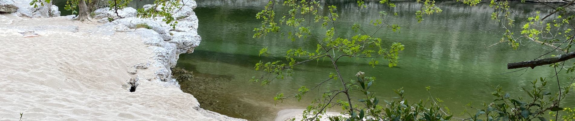
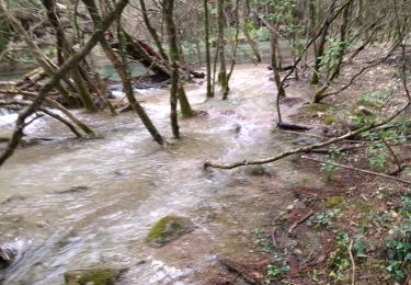
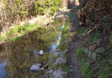
45 photos au total. Cliquez sur une photo pour les afficher toutes dans la galerie.
Marche

Marche

Marche

Marche

Marche

Marche

Marche
Marche
Marche