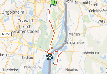

8 km | 9,2 km-effort


Utilisateur


Application GPS de randonnée GRATUITE
 SityTrail
IGN / Instituts géographiques
SityTrail World
Le monde est à vous
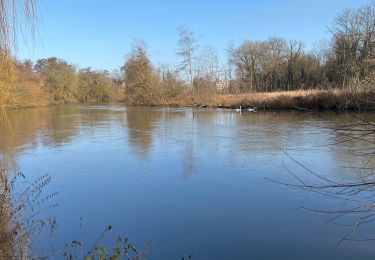
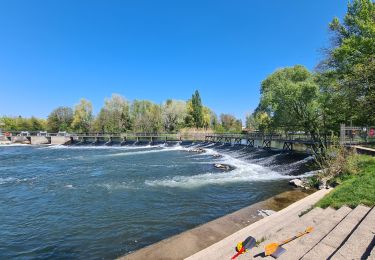
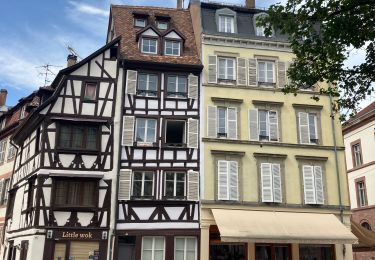
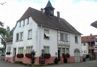
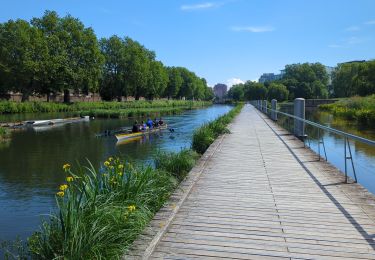
Randonnée Vélo de route de 15,1 km à découvrir à Grand Est, Bas-Rhin, Strasbourg. Cette randonnée est proposée par serge.chabroux.
ballade David

Marche
Marche

Marche
Marche
A pied
Marche

Marche