


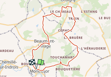


22 km | 26 km-effort

Utilisateur


Application GPS de randonnée GRATUITE
 SityTrail
IGN / Instituts géographiques
SityTrail World
Le monde est à vous
Randonnée Randonnée équestre de 19,3 km à découvrir à Centre-Val de Loire, Indre-et-Loire, Montrésor. Cette randonnée est proposée par COMITE EQUESTRE TOURISME 37.
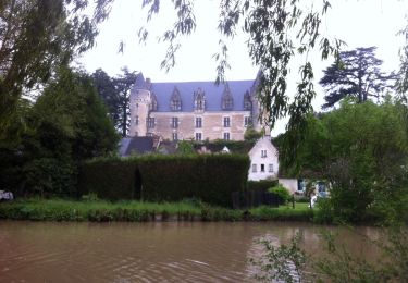
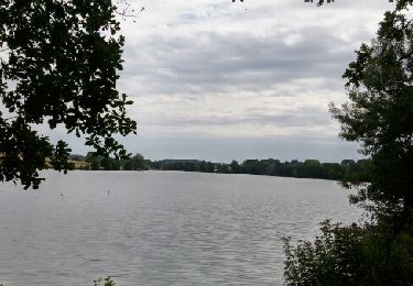
avec un petit gué et un beau chateau, le paysage de cette campagne est magnifique au printemps mais aussi en toutes saisons


Marche
Marche
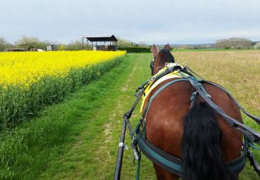
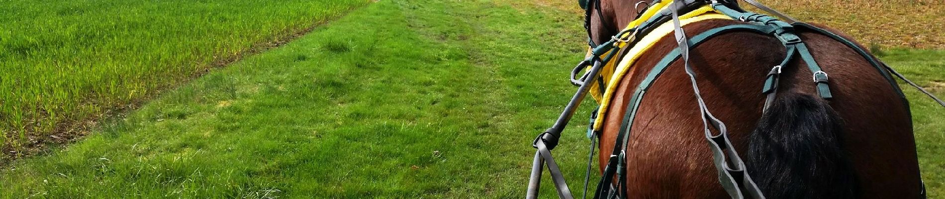
Randonnée équestre
Marche
Marche

Marche
Marche

Marche nordique
Marche