


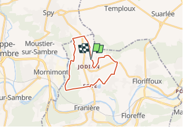


19,9 km | 25 km-effort


Utilisateur


Application GPS de randonnée GRATUITE
 SityTrail
IGN / Instituts géographiques
SityTrail World
Le monde est à vous
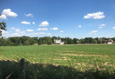
Randonnée Randonnée équestre de 10,2 km à découvrir à Wallonie, Namur, Floreffe. Cette randonnée est proposée par eddyvermeulen1.
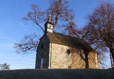
Zeer afwisselende wandeling. Mooi in de zomer, maar ook bij vriesweer. Kies als start de alternatieve startplaats (poi) op de parking nabij het kerkje van Soye
Marche
Marche

Marche
Marche
Marche
Marche
Marche
A pied
Marche