


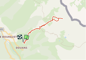

19,5 km | 40 km-effort


Utilisateur


Application GPS de randonnée GRATUITE
 SityTrail
IGN / Instituts géographiques
SityTrail World
Le monde est à vous
Randonnée Marche de 8 km à découvrir à Provence-Alpes-Côte d'Azur, Alpes-Maritimes, Saint-Étienne-de-Tinée. Cette randonnée est proposée par bozo1970.
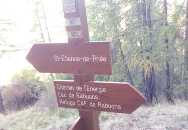
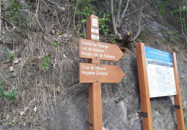
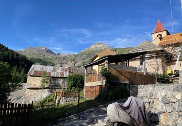
Départ Douans
Balise 125 en 53’
Balise 105 C en 1h45’
Beaucoup de neige à partir de 2200m
Trop dangereux pour le chien
Arrêt à 2450m beaucoup de vent
2h45’ de montée
4h20 A/R


Marche

Marche

Marche
Marche
Marche

A pied

A pied

A pied

A pied