


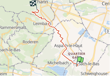

22 km | 27 km-effort


Utilisateur


Application GPS de randonnée GRATUITE
 SityTrail
IGN / Instituts géographiques
SityTrail World
Le monde est à vous
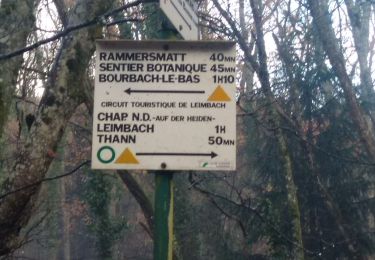
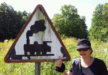
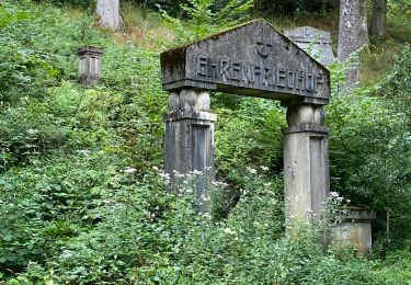
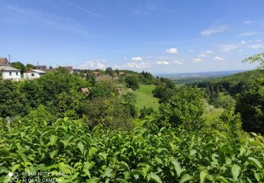
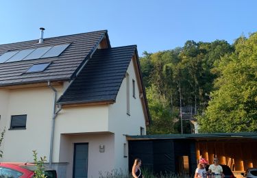
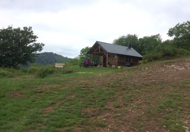
Randonnée Marche de 9 km à découvrir à Grand Est, Haut-Rhin, Aspach-le-Bas. Cette randonnée est proposée par Phil.PES.
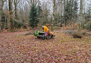
Marche
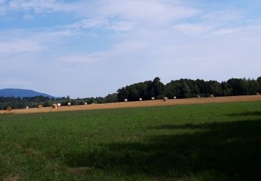
Marche
Marche
Marche
Vélo électrique
Cyclotourisme
Marche
Marche