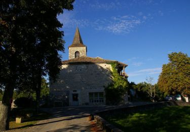
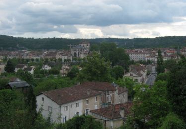
7,1 km | 9,3 km-effort
Pradines
antignacs
Utilisateur GUIDE
Longueur
6,2 km
Altitude max
129 m
Dénivelé positif
46 m
Km-Effort
6,8 km
Altitude min
108 m
Dénivelé négatif
46 m
Boucle
Oui
Date de création :
2022-03-31 12:36:18.0
Dernière modification :
2022-03-31 14:03:54.739
1h27
Difficulté : Très facile
Application GPS de randonnée GRATUITE
À propos
Randonnée Marche de 6,2 km à découvrir à Occitanie, Lot, Pradines. Cette randonnée est proposée par antignacs.
Localisation
Pays :
France
Région :
Occitanie
Département/Province :
Lot
Commune :
Pradines
Localité :
Unknown
Départ:(Dec)
Départ:(UTM)
373221 ; 4926511 (31T) N.
Commentaires
Randonnées à proximité
15km chemin des combettes
Marche nordique
Très facile
(1)
Pradines,
Occitanie,
Lot,
France
14,8 km | 17,9 km-effort
2h 15min
Oui
Larroque des arcs constant valroufie
Marche
Très facile
Bellefont-La Rauze,
Occitanie,
Lot,
France
11,6 km | 15 km-effort
2h 38min
Oui
Étape Cahors Lascabannes
Marche
Facile
Cahors,
Occitanie,
Lot,
France
23 km | 30 km-effort
18h 50min
Non
CC_Velay_DC_15_Cahors_Lendou-En-Quercy_20080506
Marche
Moyen
Cahors,
Occitanie,
Lot,
France
22 km | 29 km-effort
4h 40min
Non
ballade touristique
Moteur
Très facile
Cahors,
Occitanie,
Lot,
France
78 km | 95 km-effort
1h 45min
Non
Cahors - Lascabanes - Chemin de Compostelle
Marche
Très difficile
(1)
Cahors,
Occitanie,
Lot,
France
24 km | 31 km-effort
9h 30min
Non
Cahors, le Lot, le causse, la vieille ville
Course à pied
Moyen
Cahors,
Occitanie,
Lot,
France
7,3 km | 10 km-effort
45min
Oui