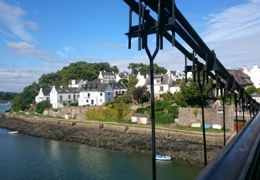
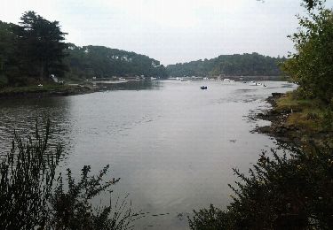
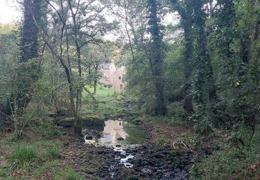
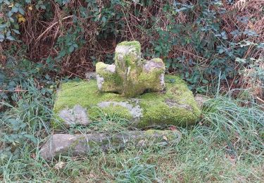
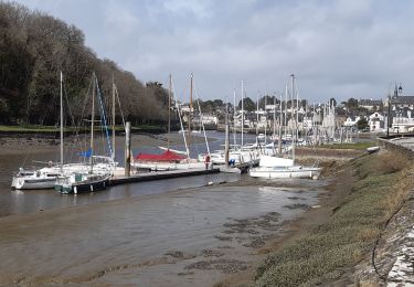
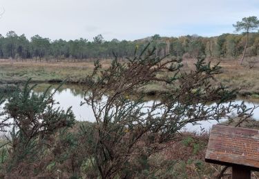
Randonnée Marche Pluneret - Boucle nord de Sainte Avoye - Photo

Boucle nord de Sainte Avoye

 EricVIBERT
EricVIBERT

Utilisateur

© OpenStreetMap contributors
Longueur
Longueur
8,5 km
Altitude max
Altitude max
26 m
Dénivelé positif
Dénivelé positif
90 m
Km-Effort
Km-Effort  
9,7 km
Altitude min
Altitude min
0 m
Dénivelé négatif
Dénivelé négatif
89 m
Boucle
Boucle
Oui
Date de création :
2022-03-27 07:51:20.673
Dernière modification :
2022-03-27 11:46:39.896

(0 Avis)

Marche
Marche
2h54
Difficulté : Facile

Scannez ce code QR pour ouvrir la randonnée dans l'application SityTrail

Application GPS de randonnée GRATUITE

Logo SityTrail SityTrail

IGN / Instituts géographiques

Télécharger SityTrail sur l'App Store Télécharger SityTrail sur Google Play

Logo SityTrail SityTrail World

Le monde est à vous

Télécharger SityTrail sur l'App Store Télécharger SityTrail sur Google Play Télécharger SityTrail sur Huawei AppGallery

À propos

Randonnée Marche de 8,5 km à découvrir à Bretagne, Morbihan, Pluneret. Cette randonnée est proposée par EricVIBERT.

Description

Passage sur platelages dans les marais et retours par les rives du Bono.
De très beaux points de vue sur une zone sauvage.

Profil altimétrique

Localisation

Pays :
France
Région :
Bretagne
Département/Province :
Morbihan
Commune :
Pluneret
Localité :
Unknown
Départ:(UTM)
503650 ; 5277715 (30T) N.

Randonnées à proximité

Randonnée Marche Le Bono - Du Bono à la Chapelle de Saint-Avoye - Photo
Marche
jeanclaude12

Marche

Facile
(1)
Le Bono, Bretagne, Morbihan, France
8 km | 9,3 km-effort
2h 47min
Oui
Randonnée Marche Pluneret - st Avoye - Photo
Marche
guizouarn

Marche

Moyen
(2)
Pluneret, Bretagne, Morbihan, France
3,2 km | 3,7 km-effort
49min
Oui
Randonnée Marche Pluneret - PR_56_Pluneret_EA_06_Circuit1b_Tro-Ar-Vourch_20240227 - Photo
Marche
patrickdanilo

Marche

Très facile
Pluneret, Bretagne, Morbihan, France
7,3 km | 8,2 km-effort
1h 51min
Oui
Randonnée Marche Plougoumelen - PR_56_Plougoumelen_CA_03_Circuit4a_Du-Boterff_20231011 - Photo
Marche
patrickdanilo

Marche

Facile
Plougoumelen, Bretagne, Morbihan, France
10 km | 11,8 km-effort
2h 40min
Oui
Randonnée Marche Pluneret - PR_56_Pluneret_DA_05_Circuit3b_La-Vallee-Du-Leran_20230917 - Photo
Marche
patrickdanilo

Marche

Très facile
Pluneret, Bretagne, Morbihan, France
9,8 km | 10,8 km-effort
2h 27min
Oui
Randonnée Marche Auray - port saint goustan,port bono - Photo
Marche
marianne guichoux

Marche

Facile
Auray, Bretagne, Morbihan, France
14,3 km | 16,5 km-effort
3h 17min
Oui
Randonnée Marche Pluneret - PR_56_Pluneret_AB_04_Circuit1b_Les-Deux-Rivieres_20230221 - Photo
Marche
patrickdanilo

Marche

Facile
Pluneret, Bretagne, Morbihan, France
12,2 km | 13,9 km-effort
2h 52min
Oui
Randonnée Marche Pluneret - PR_56_Pluneret_CA_03_Circuit1b_Anse-Du-Teno_20221120 - Photo
Marche
patrickdanilo

Marche

Facile
Pluneret, Bretagne, Morbihan, France
9,5 km | 10,8 km-effort
2h 19min
Oui
Randonnée Marche Le Bono - 56-Bono-9km - Photo
Marche
SyMA

Marche

Facile
Le Bono, Bretagne, Morbihan, France
8,7 km | 10,1 km-effort
2h 40min
Oui


Fermer
Mes abonnements