


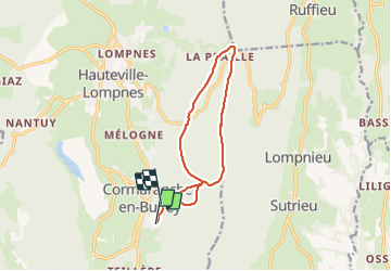

12,5 km | 15,2 km-effort

Utilisateur


Application GPS de randonnée GRATUITE
 SityTrail
IGN / Instituts géographiques
SityTrail World
Le monde est à vous
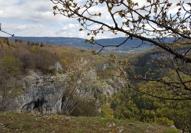
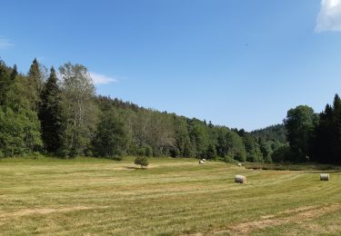
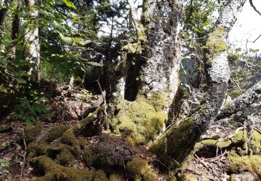
Randonnée Marche nordique de 11,4 km à découvrir à Auvergne-Rhône-Alpes, Ain, Plateau d'Hauteville. Cette randonnée est proposée par demange gerald.
planchas- col de la clye- sentier de la crête - la paille- chapelle - gilet marier- planchat


V.T.T.

Marche
Marche nordique
Marche
Marche
Marche
Marche
Marche
Marche