


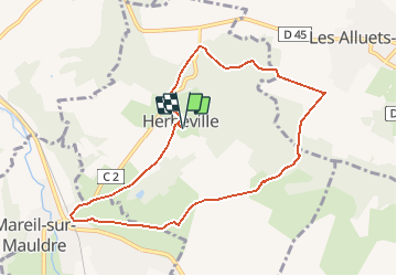

9,1 km | 10,6 km-effort

Utilisateur


Application GPS de randonnée GRATUITE
 SityTrail
IGN / Instituts géographiques
SityTrail World
Le monde est à vous
Randonnée Marche de 8,4 km à découvrir à Île-de-France, Yvelines, Herbeville. Cette randonnée est proposée par tracegps.
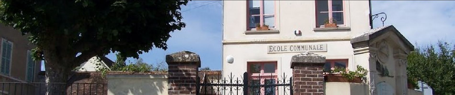
Du XIIe au XVe siècle, comme beaucoup de terres de la vallée, Herbeville relève des possessions de l'abbaye de Saint-Germain-des-Prés. Le village passe ensuite sous la domination des barons de Maule et des seigneurs de Bazemont. En 1531 le fief échoit à la famille d'Ô, qui y fait construire un château. Au XVIIIe siècle, Herbeville est situé à l'extrémité des chasses de Versailles. Louis XVI y fait construire un pavillon de chasse, doté d'une remarquable effigie de lévrier. Herbeville reste un petit village rural dont les vieilles maisons, regroupées autour de son clocher, sont bien entretenues. Randonnée extraite du Topoguide Les Chemins de Gally, 30 randonnées secrètes et inattendues, toujours attachantes et magnifiques. Elles serpentent à travers 26 villages de la Plaine de Versailles et du Plateau des Alluets, autrefois inclus dans le Grand Parc, ou situés dans sa perspective paysagère, théâtre des chasses du roi, témoins de notre histoire depuis plusieurs millénaires, et qui ont laissé leur empreinte dans le sol et dans la pierre. Commandez le Topoguide


Marche
Marche

Marche
Marche
Marche

Marche

Marche

Marche
Marche
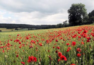
magnifique paysages