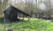

Val de Noxe - Villenauxe la Grande

tracegps
Utilisateur

Longueur
33 km

Altitude max
207 m

Dénivelé positif
447 m

Km-Effort
39 km

Altitude min
80 m

Dénivelé négatif
446 m
Boucle
Oui
Date de création :
2014-12-10 00:00:00.0
Dernière modification :
2014-12-10 00:00:00.0
6h30
Difficulté : Moyen

Application GPS de randonnée GRATUITE
À propos
Randonnée Marche de 33 km à découvrir à Grand Est, Aube, Villenauxe-la-Grande. Cette randonnée est proposée par tracegps.
Description
Circuit de 33 km organisé par la section de rando de Villenauxe à travers les vignobles et terroirs du val de Noxe. Pas de difficulté particulière si ce n'est la distance à tenir.
Localisation
Pays :
France
Région :
Grand Est
Département/Province :
Aube
Commune :
Villenauxe-la-Grande
Localité :
Unknown
Départ:(Dec)
Départ:(UTM)
541146 ; 5382277 (31U) N.
Commentaires
Randonnées à proximité
MONTPOTHIER, LE VILLAGE ET LES ETANGS


Marche
Moyen
(1)
Montpothier,
Grand Est,
Aube,
France

7,5 km | 9,1 km-effort
2h 4min
Oui
VILLENAUXE LA GRANDE, village et Val de Noxe


Marche
Moyen
Villenauxe-la-Grande,
Grand Est,
Aube,
France

8,6 km | 10,6 km-effort
2h 24min
Oui
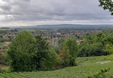
Villenauxe 3


Marche
Facile
Villenauxe-la-Grande,
Grand Est,
Aube,
France

4 km | 5 km-effort
1h 8min
Oui
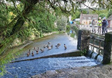
VILLENAUXE LA GRANDE 1


Marche
Difficile
Villenauxe-la-Grande,
Grand Est,
Aube,
France

11,3 km | 14,4 km-effort
3h 10min
Oui

Terroirs et vignes en Val de Noxe


Marche
Moyen
(1)
Villenauxe-la-Grande,
Grand Est,
Aube,
France

18,4 km | 24 km-effort
5h 6min
Oui
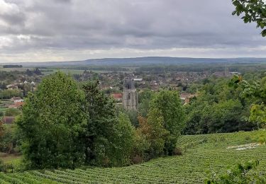
VILLENAUXE 2 le vignoble, les bois, la rivière Noxe, le village


Marche
Moyen
(1)
Villenauxe-la-Grande,
Grand Est,
Aube,
France

7,8 km | 10,1 km-effort
2h 18min
Oui

Vignoble de Champagne et Vallée de la Noxe - Villenauxe la Grande


Vélo
Moyen
(1)
Villenauxe-la-Grande,
Grand Est,
Aube,
France

66 km | 74 km-effort
3h 30min
Oui

Terroirs et vignes en Val de Noxe


Marche
Difficile
Villenauxe-la-Grande,
Grand Est,
Aube,
France

18,3 km | 23 km-effort
4h 15min
Oui


 SityTrail


