


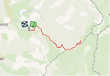

16,4 km | 33 km-effort

Utilisateur


Application GPS de randonnée GRATUITE
 SityTrail
IGN / Instituts géographiques
SityTrail World
Le monde est à vous
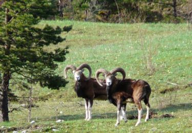
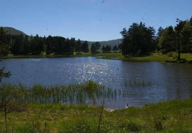
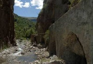
Randonnée Marche de 16,6 km à découvrir à Provence-Alpes-Côte d'Azur, Alpes-de-Haute-Provence, Bayons. Cette randonnée est proposée par PapouBertrand.
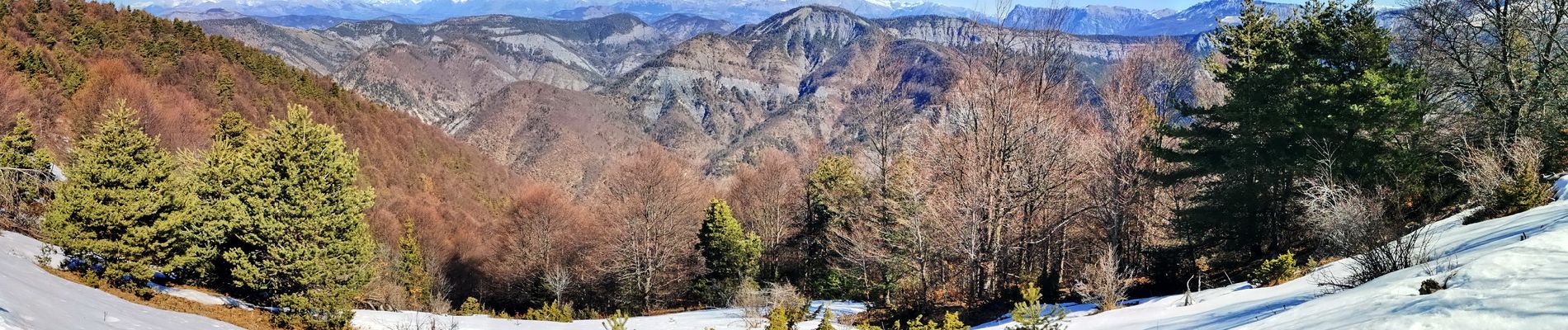
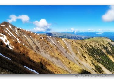
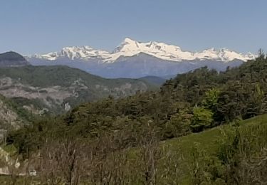
Belle rando avec 360 au sommet. Montée soutenue pour moitié en foret, itinéraire facile.


Marche
Marche

Marche
Marche
Marche
Marche

Randonnée équestre
Marche
Marche