


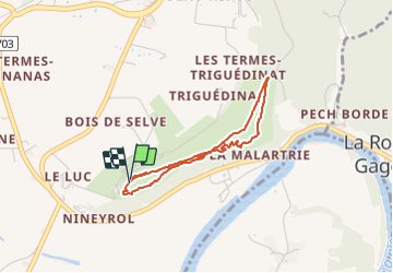

12,9 km | 17,3 km-effort

Utilisateur


Application GPS de randonnée GRATUITE
 SityTrail
IGN / Instituts géographiques
SityTrail World
Le monde est à vous
Randonnée Marche de 3,4 km à découvrir à Nouvelle-Aquitaine, Dordogne, Vézac. Cette randonnée est proposée par Sugg.
24220 Vezac
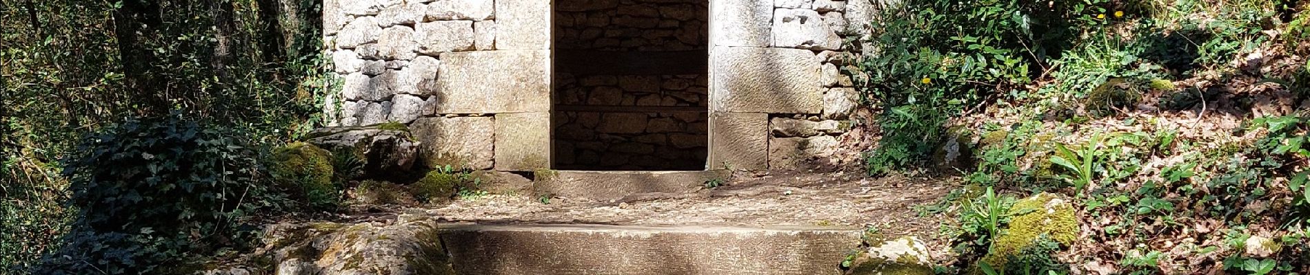
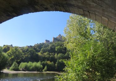
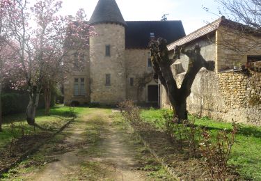
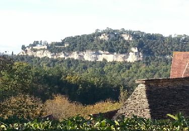
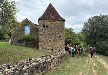
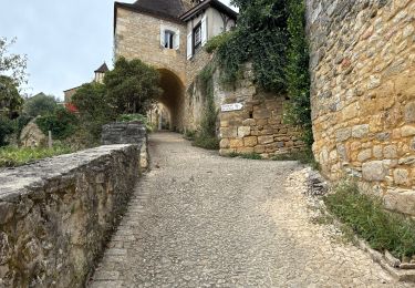
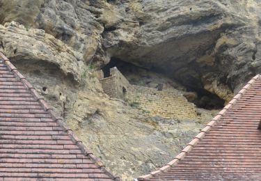
magnifique promenade dans lew jardins de buis parcours en bordure de falaise au dessus de la Dordogne et du village de la Roque Gageac

Marche
Marche
Marche


sport

Marche
Marche
Marche
Marche
Marche