


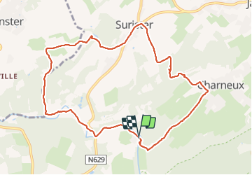


10,1 km | 13,3 km-effort

Utilisateur


Application GPS de randonnée GRATUITE
 SityTrail
IGN / Instituts géographiques
SityTrail World
Le monde est à vous
Randonnée Marche de 9,7 km à découvrir à Wallonie, Liège, Jalhay. Cette randonnée est proposée par Cyril Nicolay.
gpx avec explications sur le site
mini-ardenne.be
balade royompre jalhay le moulin de gohy


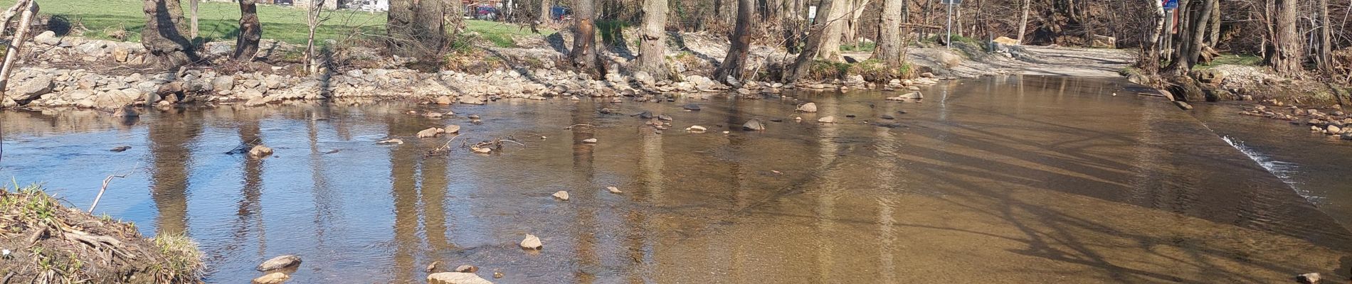
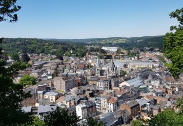
24 photos au total. Cliquez sur une photo pour les afficher toutes dans la galerie.

Marche

Marche

Marche

Marche

Marche
Marche
A pied

Marche

Marche