


6,2 km | 10,1 km-effort

Utilisateur


Application GPS de randonnée GRATUITE
 SityTrail
IGN / Instituts géographiques
SityTrail World
Le monde est à vous
Randonnée Marche de 5 km à découvrir à Bourgogne-Franche-Comté, Doubs, Gevresin. Cette randonnée est proposée par tracegps.
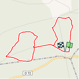
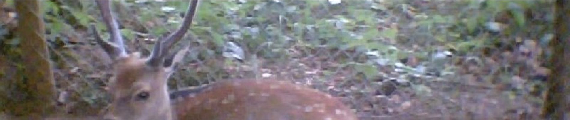
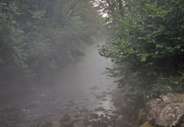
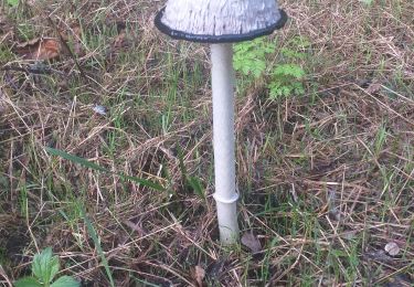
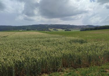
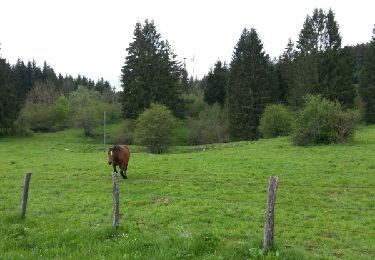
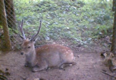
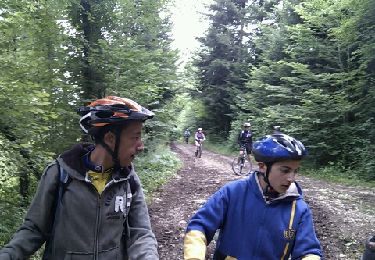
Combinaison de deux balades dans la forêt de Levier. Départ au niveau du parc du Rondé ( en bordure de la RD 72 entre Levier et Villeneuve d'Amont ) avec ses cerfs sika et son aire de jeu. Empruntez le chemin ( route de Masson ) qui monte à gauche de la route, puis le sentier botanique expliquant la végétation de la région avant de poursuivre sur une seconde boucle qui vous emmènera au milieu d’arbres remarquables tels que les épicéas du Roi de Rome. Des clairières aménagées (tables, aires de jeux...) pour le pique nique et la détente vous accueillent le long du parcours.


Marche
Marche
Vélo de route
Marche
Course à pied
V.T.T.
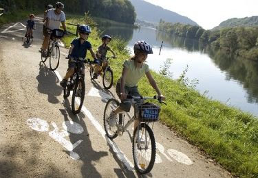
Vélo
Marche
Marche