


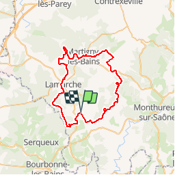

19,4 km | 23 km-effort

Utilisateur


Application GPS de randonnée GRATUITE
 SityTrail
IGN / Instituts géographiques
SityTrail World
Le monde est à vous
Randonnée V.T.T. de 52 km à découvrir à Grand Est, Vosges, Isches. Cette randonnée est proposée par tracegps.
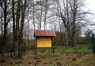
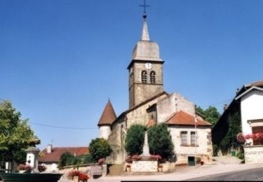
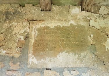
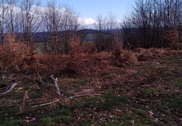
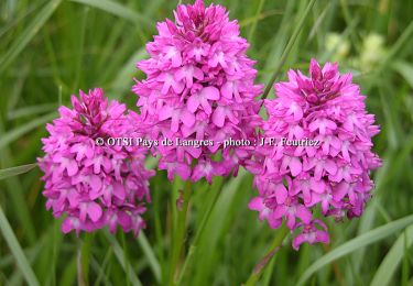
Circuit proposé par le Syndicat d’Initiative de Saône & Mouzon. Départ de l’Arboretum de Isches. Adossée à la Haute Marne, une région remplie d'histoire, qui possède un éventail de richesses architecturales particulièrement abondant: ancien établissement thermal de Martigny les Bains, couvent des Cordeliers aux Petits Thons, Prieuré de Morizécourt, Château d'Isches, forêt Départementale et Maison de la Nature à Tignécourt. Non loin, exceptionnel village renaissance de Châtillon-sur-Saône, fonderie de cloche de Robécourt. Retrouvez le le plan des 3 circuits VTT sur le site du Syndicat d’initiative du pays de Saône et Mouzon.


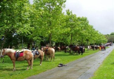
Cheval

Cheval
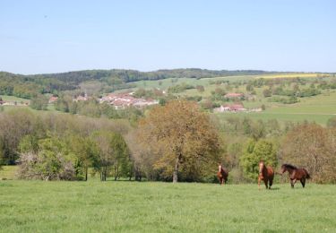
Cheval
V.T.T.
V.T.T.
Marche
Marche

Marche