


14,2 km | 21 km-effort

Utilisateur


Application GPS de randonnée GRATUITE
 SityTrail
IGN / Instituts géographiques
SityTrail World
Le monde est à vous
Randonnée Marche de 7,6 km à découvrir à Auvergne-Rhône-Alpes, Savoie, Loisieux. Cette randonnée est proposée par tracegps.
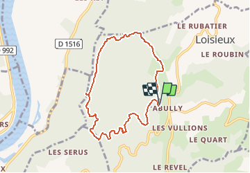
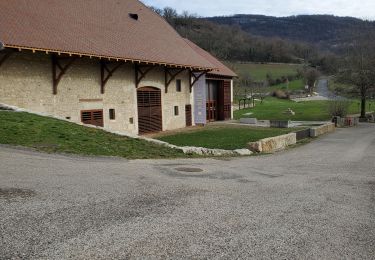
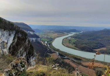
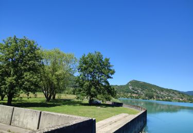
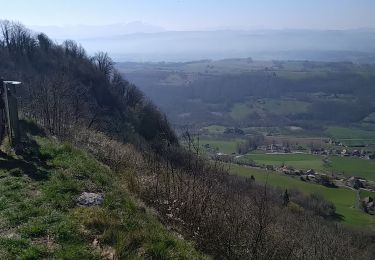
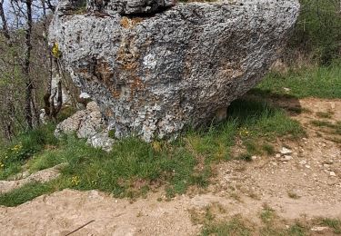
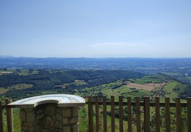
Itinéraire de montagne. Parcourir une randonnée autour du Bois de Glaize est toujours plaisant, quelque soit la saison. Partant du parking des chasseurs de Labully, lieu-dit de Loisieux. L'itinéraire retenu monte à la Chapelle Saint-Martin pour passer dans le versant Ouest de la montagne et suivre le bord des falaises pour atteindre le Belvédère du Recorba. Un sentier agréable – un peu raide – retrouve la crête pour descendre par la Pierre Chapautée au pied du Mont Tournier. Le retour, toujours à travers bois, passe par la Magne pour rejoindre le point de départ. Description complète sur sentier-nature.com : Autour du Bois de Glaize, Mont Tournier. Avertissement [Facile]. Pour votre sécurité, nous vous invitons à respecter les règles suivantes : être bien chaussé, ne pas s'engager par mauvais temps, ne pas s'écarter de l'itinéraire ni des sentiers.

Randonnée équestre
Marche
Randonnée équestre
Marche
Randonnée équestre
Marche
Marche
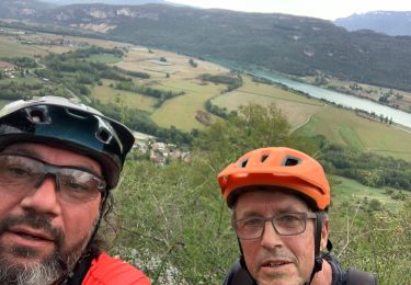
V.T.T.
Randonnée équestre