


12,9 km | 21 km-effort

Utilisateur


Application GPS de randonnée GRATUITE
 SityTrail
IGN / Instituts géographiques
SityTrail World
Le monde est à vous
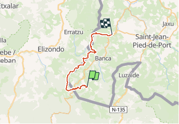
Randonnée V.T.T. de 34 km à découvrir à Nouvelle-Aquitaine, Pyrénées-Atlantiques, Urepel. Cette randonnée est proposée par tracegps.
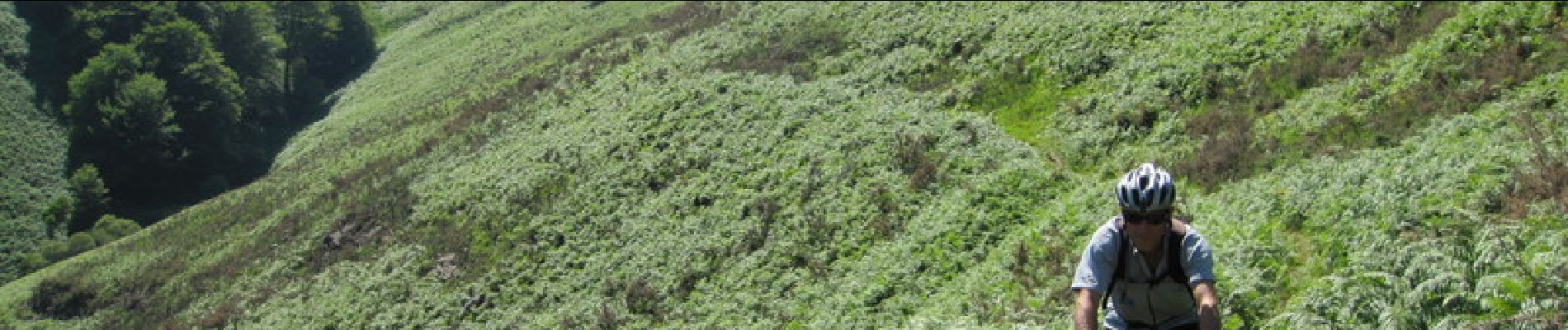
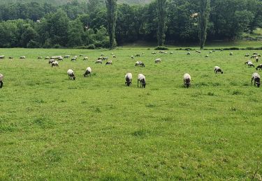
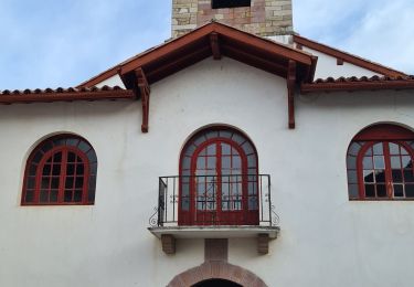
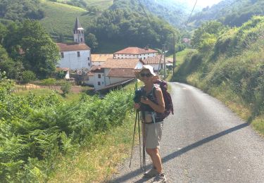
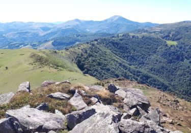
Parcours de grande envergure, composé de deux itinéraires très intéressants pour le VTT et un passage de liaison entre les deux, frustrant, car après de rudes montées et quelques beaux passages cependant, on s’attend à une belle descente, mais non, c’est le goudron ! Du col d’Elhorrieta, une petite descente emmène au pied d’un sentier où la poussée du vélo est nécessaire. Après un petit collet, très beau VTT, mais attention quand même, parfois, mieux vaut ne pas tomber. Enfin, depuis le col d Ispegi, le monotrace est fantastique, mais à ne pas mettre en toutes les mains car certains passages sont assez expos. Plus de détail sur le Sentier des Contrebandiers en VTT .

Marche
A pied
Marche
Marche
Marche
Marche
Marche
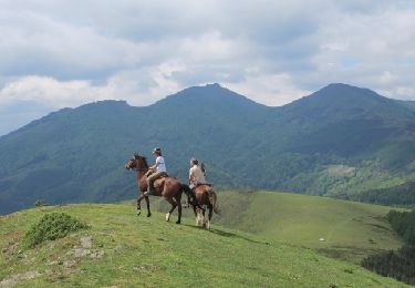
Cheval
V.T.T.