


21 km | 23 km-effort

Utilisateur


Application GPS de randonnée GRATUITE
 SityTrail
IGN / Instituts géographiques
SityTrail World
Le monde est à vous
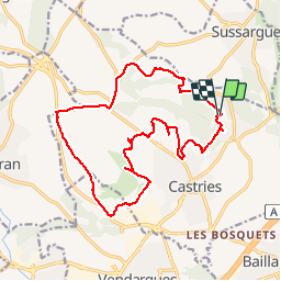
Randonnée V.T.T. de 18,6 km à découvrir à Occitanie, Hérault, Castries. Cette randonnée est proposée par tracegps.
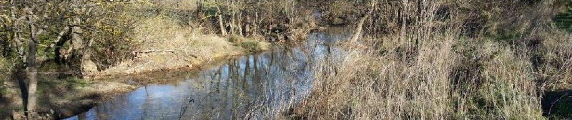
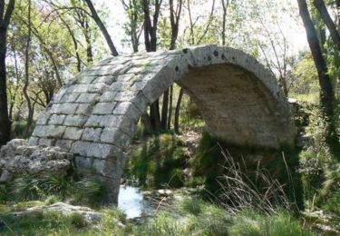
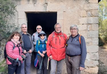
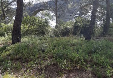
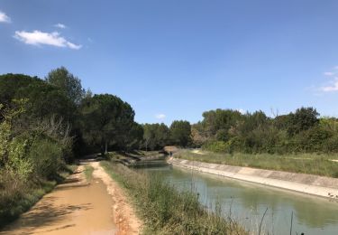
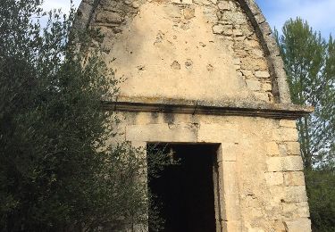
Circuit en boucle de Fondespierre. Circuit hétéroclite, route, chemin, sentier avec passage à gué sont de difficultés de différents niveaux de compétence. Porter son VTT peut parfois être utile. Un passage difficile demandera une grande prudence. Pour les paysages ils sont aussi très variés.


V.T.T.

Marche
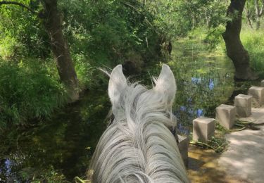
Randonnée équestre

Marche

A pied
Marche
Marche
Marche
Super balade en VTT, trace bien réalisée, paysage superbe, le top :)