


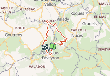

11,3 km | 16 km-effort

Utilisateur


Application GPS de randonnée GRATUITE
 SityTrail
IGN / Instituts géographiques
SityTrail World
Le monde est à vous
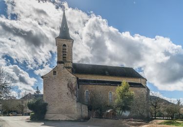
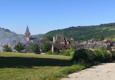
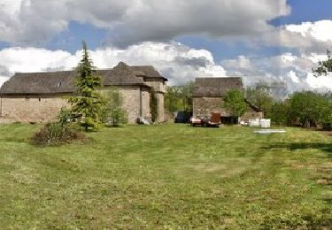
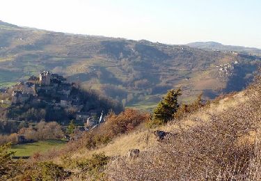
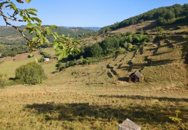
Randonnée Marche de 11,7 km à découvrir à Occitanie, Aveyron, Clairvaux-d'Aveyron. Cette randonnée est proposée par ZITO12.
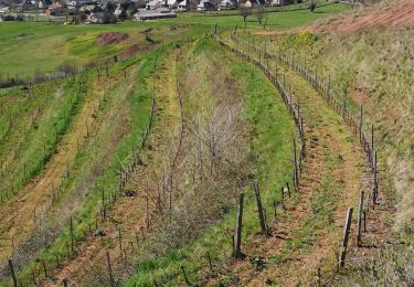
Rando dans les vignes du Marcillac la plupart du temps chemins dominant avec de belles vues. Le jour de l'enregistrement le temps était couvert. Par soleil c'est magnifique.


A pied
A pied
A pied
Marche
Marche
Marche
Marche
Marche
Marche