


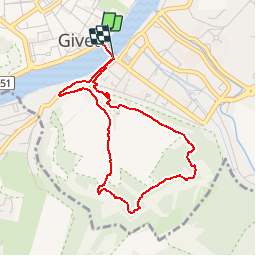

8 km | 9,4 km-effort


Utilisateur


Application GPS de randonnée GRATUITE
 SityTrail
IGN / Instituts géographiques
SityTrail World
Le monde est à vous
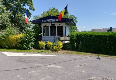
Randonnée Marche de 3,7 km à découvrir à Grand Est, Ardennes, Givet. Cette randonnée est proposée par tracegps.
Sur et dans cette colline calcaire, Vauban a fait construire un fort. Point de vue remarquable sur la rive gauche de la Meuse et le fort de Charlemont.


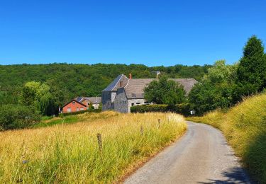
Marche

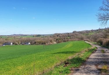
Marche

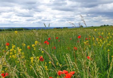
Marche
Marche
Marche
Marche
Marche
Marche