


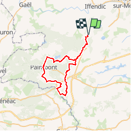

22 km | 25 km-effort


Utilisateur


Application GPS de randonnée GRATUITE
 SityTrail
IGN / Instituts géographiques
SityTrail World
Le monde est à vous
Randonnée Cheval de 47 km à découvrir à Bretagne, Ille-et-Vilaine, Iffendic. Cette randonnée est proposée par tracegps.
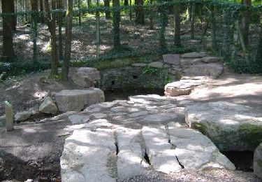
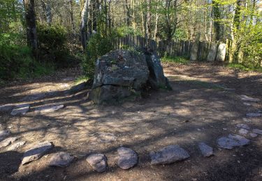
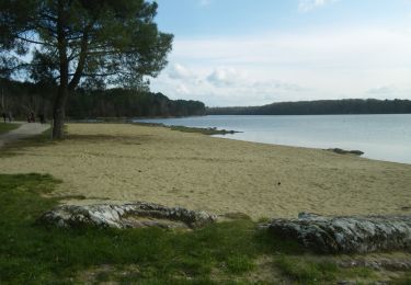
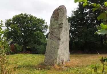
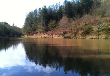
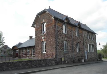
Etang et abbaye de Paimpont, contes féeriques et légendes arthuriennes... Église de Maxent, église de St Péran, chapelle Coganne, Chapelle des Forges, Brocéliande c'est aussi le pays de la pierre.


Marche
A pied
A pied
A pied
A pied
Marche
Marche
A pied
A pied