


3,2 km | 5,1 km-effort

Utilisateur


Application GPS de randonnée GRATUITE
 SityTrail
IGN / Instituts géographiques
SityTrail World
Le monde est à vous
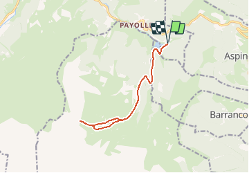
Randonnée Raquettes à neige de 13,6 km à découvrir à Occitanie, Hautes-Pyrénées, Campan. Cette randonnée est proposée par tracegps.
Départ depuis le parking du bord du lac de la station touristique de Payolle. On longe tout d'abord la piste de fond qui emprunte la D113 qui conduit à la Hourquette d'Ancizan. On quitte cette piste à hauteur des cabanes de Camoudiet pour attaquer la rude montée vers le sommet. La dernière rampe pour aboutir au sommet est particulièrement raide, mais au sommet à 1916 m on découvre un immense panorama sur les sommets enneigés. La descente s'effectue par l'autre versant de la ligne de crête pour rejoindre les cabanes de Camoudiet et la piste qui reconduit au parking.


Marche

Marche

Marche

Marche

A pied
Marche
Marche
Marche

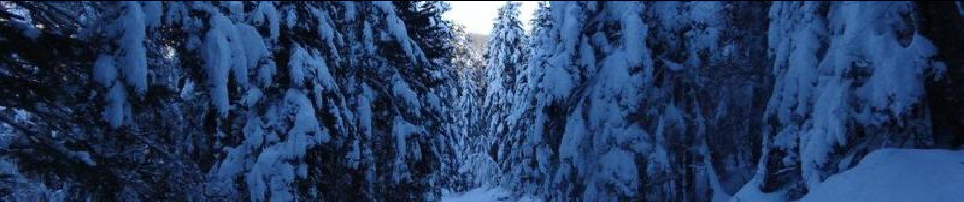
Raquettes à neige