


15,2 km | 22 km-effort

Utilisateur


Application GPS de randonnée GRATUITE
 SityTrail
IGN / Instituts géographiques
SityTrail World
Le monde est à vous
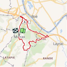
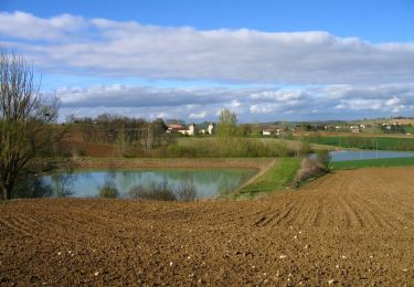
Randonnée V.T.T. de 13,2 km à découvrir à Nouvelle-Aquitaine, Lot-et-Garonne, Moirax. Cette randonnée est proposée par tracegps.
Ce circuit passe, sous et au dessus de l’autoroute A 62. Le bruit de la circulation n’est gênant que sur la partie nord de la boucle. Sinon très beaux paysages sur la vallée de la Garonne, proche d’Agen. Vous stationnez sur le parking, à gauche en venant d’Agen, au nord de Moirax sur la D 268, 100 m avant l'église. Téléchargez la fiche de cette randonnée sur le site du Tourisme du Lot et Garonne.


Marche
Marche

Marche
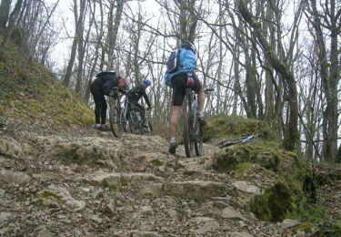
V.T.T.
Cheval

V.T.T.

Marche

Cheval

V.T.T.